|
Administrative divisions (GPS Maps)
Geography
People and Society
Government
Economy
Communications
Transportation
Military |
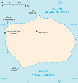 |
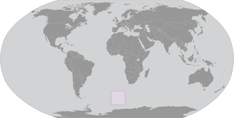
 This uninhabited, volcanic, Antarctic island is almost entirely covered by glaciers and is the most remote island on Earth, making it difficult to approach. It was discovered in 1739 by the French naval officer after whom the island was named. No claim was made until 1825, when the British flag was raised. In 1928, the UK waived its claim in favor of Norway, which had occupied the island the previous year. In 1971, Norway designated Bouvet Island and the adjacent territorial waters a nature reserve. Since 1977, Norway has run an automated meteorological station and studied foraging strategies and distribution of fur seals and penguins on the island. This uninhabited, volcanic, Antarctic island is almost entirely covered by glaciers and is the most remote island on Earth, making it difficult to approach. It was discovered in 1739 by the French naval officer after whom the island was named. No claim was made until 1825, when the British flag was raised. In 1928, the UK waived its claim in favor of Norway, which had occupied the island the previous year. In 1971, Norway designated Bouvet Island and the adjacent territorial waters a nature reserve. Since 1977, Norway has run an automated meteorological station and studied foraging strategies and distribution of fur seals and penguins on the island. |
|
Advertisements
|
Advertisements
|
Country name
Conventional long form None
Conventional short form Bouvet Island
Dependency status
Territory of Norway; administered by the Polar Department of the Ministry of Justice and Oslo Police
Legal system
The laws of Norway, where applicable, apply
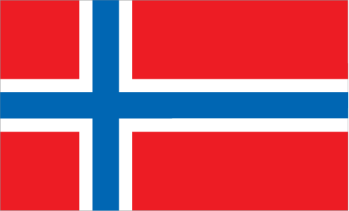
Flag description
The flag of Norway is used
--- There are no comments yet ---
Add a new comment:
|
Advertisement
Members area
Bouvet Island [ Norway ] (Norway):
GPS points from Bouvet Island [ Norway ] (Norway)
|