|
|
|
Advertisements:
TransportationAirports World Ranking: 214
1 (2012)
Airports - with paved runways
Total 1
1,524 to 2,437 m 1 (2012) Railways World Ranking: 133
Total 18 km
Standard gauge 18 km 1.435-m (not in operation) (2010) Roadways World Ranking: 210
Total 140 km
Paved 30 km Unpaved 110 km (2007) Ports and terminals
Flying Fish Cove
Comments
Add a new comment: |
Advertisement
Members area
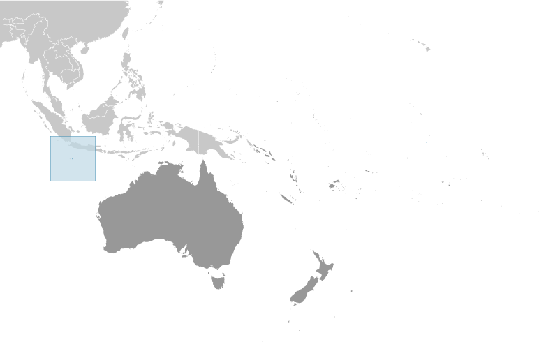
Christmas Island [ Australia ] (Australia):
  |
||||||||
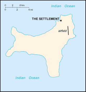
 Named in 1643 for the day of its discovery, the island was annexed and settlement began by the UK in 1888. Phosphate mining began in the 1890s. The UK transferred sovereignty to Australia in 1958. Almost two-thirds of the island has been declared a national park.