|
|
|
Advertisements:
CommunicationsCommunications - note
There are automatic weather stations on many of the isles and reefs relaying data to the mainland
Comments
Add a new comment: |
Advertisement
Members area
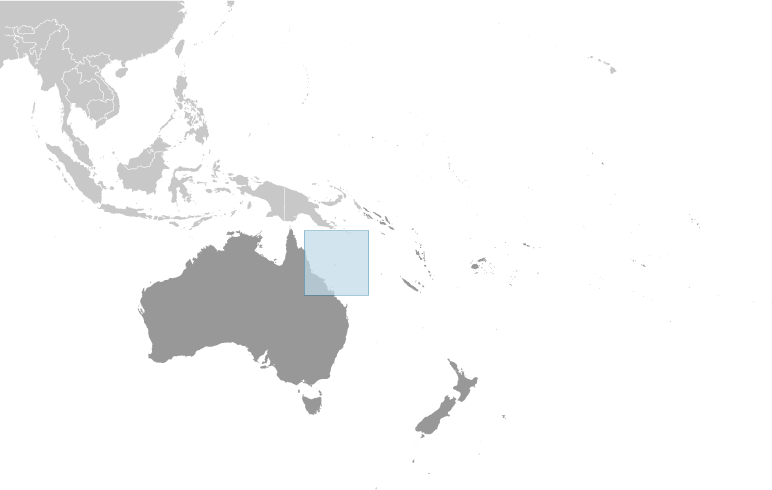
Coral Sea Islands [ Australia ]:
GPS points from Coral Sea Islands [ Australia ]
|
||||||||
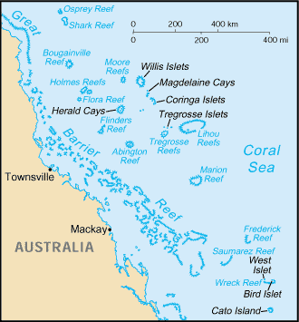
 Scattered over more than three-quarters of a million square kilometers of ocean, the Coral Sea Islands were declared a territory of Australia in 1969. They are uninhabited except for a small meteorological staff on the Willis Islets. Automated weather stations, beacons, and a lighthouse occupy many other islands and reefs.