|
|
|
Advertisements:
GeographyLocation
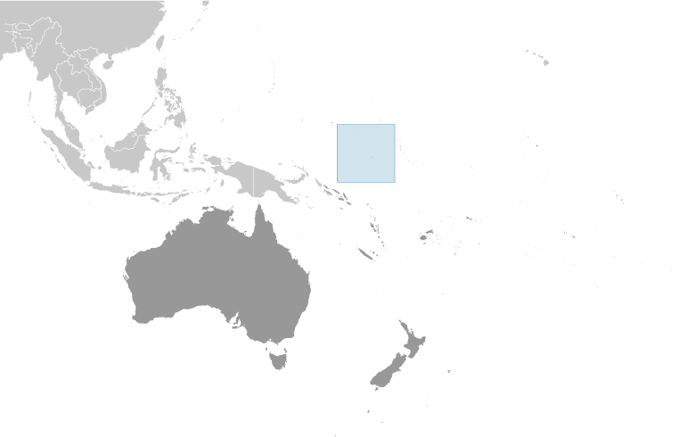
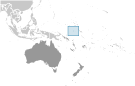
Oceania, island in the South Pacific Ocean, south of the Marshall Islands Geographic coordinates
0 32 S, 166 55 E
Map references
Oceania
Area World Ranking: 239
Total 21 sq km
Land 21 sq km Water 0 sq km Area - comparative
About 0.1 times the size of Washington, DC Land boundaries
0 km
Coastline
30 km
Maritime claims
Territorial sea 12 nm
Contiguous zone 24 nm Exclusive economic zone 200 nm Climate
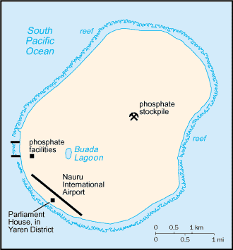
Tropical with a monsoonal pattern; rainy season (November to February) Terrain
Sandy beach rises to fertile ring around raised coral reefs with phosphate plateau in center Elevation extremes
Lowest point Pacific Ocean 0 m
Highest point Unnamed elevation along plateau rim 61 m Natural resources
Phosphates, fish
Land use
Arable land 0%
Permanent crops 0% Other 100% (2005) Irrigated land
NA
Natural hazards
Periodic droughts
Environment - current issues
Limited natural freshwater resources, roof storage tanks collect rainwater but mostly dependent on a single, aging desalination plant; intensive phosphate mining during the past 90 years - mainly by a UK, Australia, and NZ consortium - has left the central 90% of Nauru a wasteland and threatens limited remaining land resources Environment - international agreements
Party to
Biodiversity, Climate Change, Climate Change-Kyoto Protocol, Desertification, Hazardous Wastes, Law of the Sea, Marine Dumping, Ozone Layer Protection, Whaling Signed, but not ratified None of the selected agreements Geography - note
Nauru is one of the three great phosphate rock islands in the Pacific Ocean - the others are Banaba (Ocean Island) in Kiribati and Makatea in French Polynesia; only 53 km south of Equator
Comments
Add a new comment: |
Advertisement
Members area
Nauru (Yaren):
  |
||||||||
 The exact origins of the Nauruans are unclear since their language does not resemble any other in the Pacific. Germany annexed the island in 1888. A German-British consortium began mining the island's phosphate deposits early in the 20th century. Australian forces occupied Nauru in World War I; it subsequently became a League of Nations mandate. After the Second World War - and a brutal occupation by Japan - Nauru became a UN trust territory. It achieved independence in 1968 and joined the UN in 1999 as the world's smallest independent republic.