|
|
|
Advertisements:
GeographyLocation
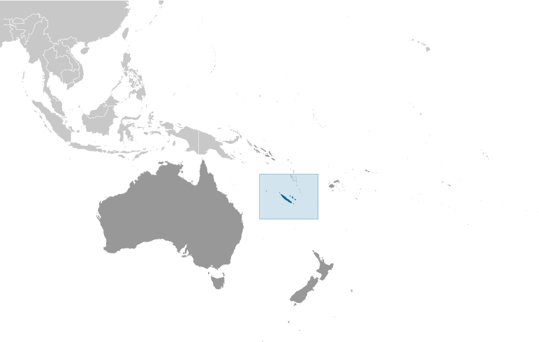
Oceania, islands in the South Pacific Ocean, east of Australia Geographic coordinates
21 30 S, 165 30 E
Map references
Oceania
Area World Ranking: 156
Total 18,575 sq km
Land 18,275 sq km Water 300 sq km Area - comparative
Slightly smaller than New Jersey Land boundaries
0 km
Coastline
2,254 km
Maritime claims
Territorial sea 12 nm
Exclusive economic zone 200 nm Climate
Tropical; modified by southeast trade winds; hot, humid Terrain
Coastal plains with interior mountains Elevation extremes
Lowest point Pacific Ocean 0 m
Highest point Mont Panie 1,628 m Natural resources
Nickel, chrome, iron, cobalt, manganese, silver, gold, lead, copper Land use
Arable land 0.32%
Permanent crops 0.22% Other 99.46% (2005) Irrigated land
100 sq km (2003)
Natural hazards
Cyclones, most frequent from November to March Volcanism Matthew and Hunter Islands are historically active Environment - current issues
Erosion caused by mining exploitation and forest fires Geography - note
Consists of the main island of New Caledonia (one of the largest in the Pacific Ocean), the archipelago of Iles Loyaute, and numerous small, sparsely populated islands and atolls
Comments
Add a new comment: |
Advertisement
Members area
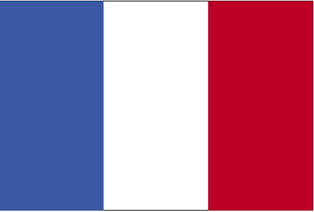
New Caledonia [ France ] (Overseas Territory):
GPS points from New Caledonia [ France ] (Overseas Territory)
|
||||||||

 Settled by both Britain and France during the first half of the 19th century, the island was made a French possession in 1853. It served as a penal colony for four decades after 1864. Agitation for independence during the 1980s and early 1990s ended in the 1998 Noumea Accord, which over a period of 15 to 20 years will transfer an increasing amount of governing responsibility from France to New Caledonia. The agreement also commits France to conduct a referendum between 2014 and 2018 to decide whether New Caledonia should assume full sovereignty and independence.