|
|
|
Advertisements:
GeographyLocation
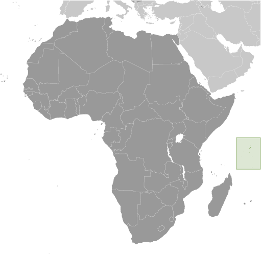
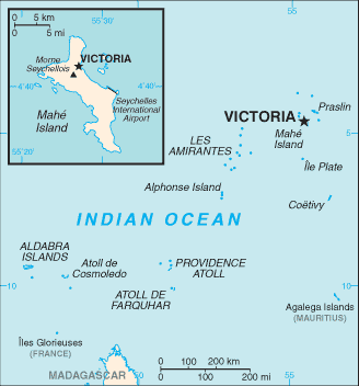
Archipelago in the Indian Ocean, northeast of Madagascar Geographic coordinates
4 35 S, 55 40 E
Map references
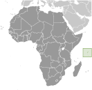
Africa
Area World Ranking: 198
Total 455 sq km
Land 455 sq km Water 0 sq km Area - comparative
2.5 times the size of Washington, DC Land boundaries
0 km
Coastline
491 km
Maritime claims
Territorial sea 12 nm
Contiguous zone 24 nm Exclusive economic zone 200 nm Continental shelf 200 nm or to the edge of the continental margin Climate
Tropical marine; humid; cooler season during southeast monsoon (late May to September); warmer season during northwest monsoon (March to May) Terrain
Mahe Group is granitic, narrow coastal strip, rocky, hilly; others are coral, flat, elevated reefs Elevation extremes
Lowest point Indian Ocean 0 m
Highest point Morne Seychellois 905 m Natural resources
Fish, copra, cinnamon trees
Land use
Arable land 2.17%
Permanent crops 13.04% Other 84.79% (2005) Irrigated land
3 sq km
Natural hazards
Lies outside the cyclone belt, so severe storms are rare; short droughts possible Environment - current issues
Water supply depends on catchments to collect rainwater Environment - international agreements
Party to
Biodiversity, Climate Change, Climate Change-Kyoto Protocol, Desertification, Endangered Species, Hazardous Wastes, Law of the Sea, Marine Dumping, Ozone Layer Protection, Ship Pollution, Wetlands Signed, but not ratified None of the selected agreements Geography - note
41 granitic and about 75 coralline islands
Comments
Add a new comment: |
Advertisement
Members area
Seychelles (Victoria):
GPS points from Seychelles (Victoria)
|
||||||||
 A lengthy struggle between France and Great Britain for the islands ended in 1814, when they were ceded to the latter. Independence came in 1976. Socialist rule was brought to a close with a new constitution and free elections in 1993. President France-Albert RENE, who had served since 1977, was re-elected in 2001, but stepped down in 2004. Vice President James MICHEL took over the presidency and in July 2006 was elected to a new five-year term; he was reelected in May 2011.