|
|
Advertisements:
People And SocietyNationality
Noun Gambian(s)
Adjective Gambian Ethnic groups
African 99% (Mandinka 42%, Fula 18%, Wolof 16%, Jola 10%, Serahuli 9%, other 4%), non-African 1% (2003 census) Languages
English (official), Mandinka, Wolof, Fula, other indigenous vernaculars Religions
Muslim 90%, Christian 8%, indigenous beliefs 2% Population World Ranking: 149
1,840,454 (July 2012 est.)
Age structure
0-14 years
40% (male 360,732/female 358,440) 15-64 years 56.9% (male 501,946/female 520,826) 65 years and over 3.1% (male 26,645/female 29,271) (2011 est.) Median age
Total 19.7 years
Male 19.4 years Female 19.9 years (2012 est.) Population growth rate World Ranking: 34
2.344% (2012 est.)
Birth rate World Ranking: 31
33.41 births/1,000 population (2012 est.) Death rate World Ranking: 115
7.5 deaths/1,000 population (July 2012 est.) Net migration rate World Ranking: 169
-2.46 migrant(s)/1,000 population (2012 est.) Urbanization
Urban population 58% of total population (2010)
Rate of urbanization 3.7% annual rate of change (2010-15 est.) Major cities - population
BANJUL (capital) 436,000 (2009) Sex ratio
At birth 1.03 male(s)/female
Under 15 years 1.01 male(s)/female 15-64 years 0.96 male(s)/female 65 years and over 0.9 male(s)/female Total population 0.98 male(s)/female (2011 est.) Maternal mortality rate World Ranking: 28
360 deaths/100,000 live births (2010) Infant mortality rate World Ranking: 20
Total 69.58 deaths/1,000 live births
Male 75.15 deaths/1,000 live births Female 63.84 deaths/1,000 live births (2012 est.) Life expectancy at birth World Ranking: 173
Total population 63.82 years
Male 61.52 years Female 66.18 years (2012 est.) Total fertility rate World Ranking: 39
4.1 children born/woman (2012 est.) Health expenditures World Ranking: 27
10.1% of GDP (2009)
Physicians density
0.038 physicians/1,000 population (2008) Hospital bed density
1.13 beds/1,000 population (2009) Hiv/aids - adult prevalence rate World Ranking: 29
2% (2009 est.)
Hiv/aids - people living with hiv/aids World Ranking: 79
18,000 (2009 est.)
Hiv/aids - deaths World Ranking: 80
Fewer than 1,000 (2009 est.)
Major infectious diseases
Degree of risk Very high
Food or waterborne diseases Bacterial and protozoal diarrhea, hepatitis A, and typhoid fever Vectorborne diseases MalariaWater contact disease Schistosomiasis Respiratory disease Meningococcal meningitis Animal contact disease Rabies (2009) Children under the age of 5 years underweight World Ranking: 52
15.8% (2006)
Education expenditures World Ranking: 155
2% of GDP (2004)
Literacy
Definition
Age 15 and over can read and write Total population 50%Male 60% Female 40.4% (2010 est.) School life expectancy (primary to tertiary education)
Total 9 years
Male 9 years Female 9 years (2008)
Comments
Add a new comment: |
Advertisement
Members area
The Gambia (Banjul):
 
GPS points from The Gambia (Banjul)
|
||||||||

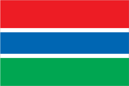
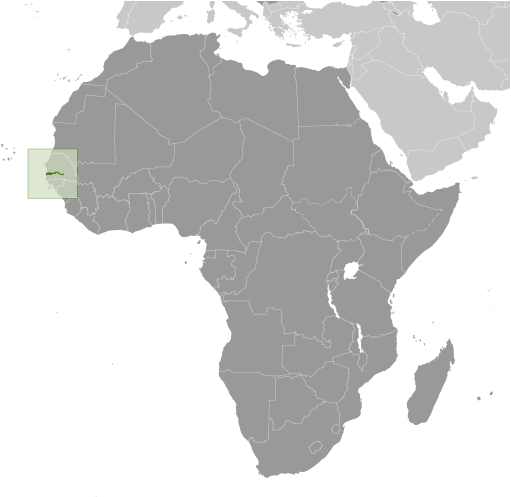
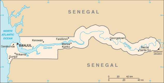
 The Gambia gained its independence from the UK in 1965. Geographically surrounded by Senegal, it formed a short-lived federation of Senegambia between 1982 and 1989. In 1991 the two nations signed a friendship and cooperation treaty, but tensions have flared up intermittently since then. Yahya JAMMEH led a military coup in 1994 that overthrew the president and banned political activity. A new constitution and presidential elections in 1996, followed by parliamentary balloting in 1997, completed a nominal return to civilian rule. JAMMEH has been elected president in all subsequent elections including most recently in late 2011.