|
|
|
Weather Astkhaberd (Cloud cover, Temperature, Wind speed and Precipitation mm probab.)
Map and Photos Astkhaberd
Comments
Add a new comment: |
Members area
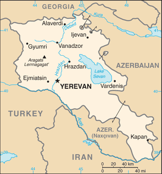
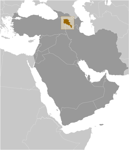
Armenia (Yerevan):
Advertisement
GPS points near Astkhaberd
 Avad (2 km)
Avard (2 km)
Davakharab (2 km)
Atis (4 km)
Hatis (4 km)
K'yank'yan (4 km)
Kotayk'i Marz (4 km)
Gut'anasar Lerr (6 km)
Gora Gutansar (6 km)
Gora Kentan-Dag (6 km)
Fantan (6 km)
Fontan (6 km)
Dallaklu (6 km)
Zovashen (6 km)
Gora Atis (7 km)
Gora Gadiz (7 km)
Hadis Lerr (7 km)
Avad (2 km)
Avard (2 km)
Davakharab (2 km)
Atis (4 km)
Hatis (4 km)
K'yank'yan (4 km)
Kotayk'i Marz (4 km)
Gut'anasar Lerr (6 km)
Gora Gutansar (6 km)
Gora Kentan-Dag (6 km)
Fantan (6 km)
Fontan (6 km)
Dallaklu (6 km)
Zovashen (6 km)
Gora Atis (7 km)
Gora Gadiz (7 km)
Hadis Lerr (7 km)
GPS points from Armenia (Yerevan)
|