|
|
|
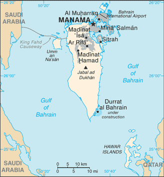
Jabal Lughaybirāt
Weather Jabal Lughaybirāt (Cloud cover, Temperature, Wind speed and Precipitation mm probab.)
Map and Photos Jabal Lughaybirat
Comments
Add a new comment: |
Members area
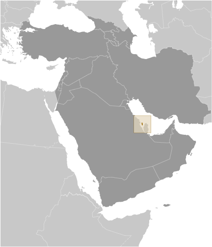
Bahrain (Manama):
Advertisement
GPS points near Jabal Lughaybirāt
 Ar Rumamin (0.5km)
Ar Rumanum (0.5km)
Rawdat as Sakhir (1 km)
As Sakhir (2 km)
Sakhir (2 km)
Jabal ad Dukhan (2 km)
Jabal ad Dukhkhan (2 km)
Jabal Camp (2 km)
Jebal (2 km)
Al `Awali (2 km)
Al Chirabia (2 km)
Al Ghiraibat (2 km)
`Awali (2 km)
Bapco (2 km)
Kirabad (2 km)
Oil City (2 km)
Al Awbayidh (3 km)
Ar Rumamin (0.5km)
Ar Rumanum (0.5km)
Rawdat as Sakhir (1 km)
As Sakhir (2 km)
Sakhir (2 km)
Jabal ad Dukhan (2 km)
Jabal ad Dukhkhan (2 km)
Jabal Camp (2 km)
Jebal (2 km)
Al `Awali (2 km)
Al Chirabia (2 km)
Al Ghiraibat (2 km)
`Awali (2 km)
Bapco (2 km)
Kirabad (2 km)
Oil City (2 km)
Al Awbayidh (3 km)
GPS points from Bahrain (Manama)
|