|
|
|
Weather Umm as Subban (Cloud cover, Temperature, Wind speed and Precipitation mm probab.)
Map and Photos Umm as Subban
Comments
Add a new comment: |
Members area
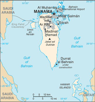
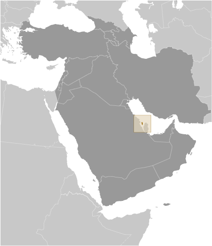
Bahrain (Manama):
Advertisement
GPS points near Umm as Subban
 Budaia Bay (1 km)
Dawhat al Budayyi` (1 km)
Ras Budaia (1 km)
Ras Budaiya' (1 km)
Ra's al Budayyi` (1 km)
Al Buday` (2 km)
Al Budayyi` (2 km)
Badaiya`a (2 km)
Budaia (2 km)
Budaiya (2 km)
Buday`ah (2 km)
Budayya` (2 km)
Bani Jamrah (2 km)
Jamra (2 km)
Jamrah (2 km)
Al Qurayyah (2 km)
Kuraiya (2 km)
Budaia Bay (1 km)
Dawhat al Budayyi` (1 km)
Ras Budaia (1 km)
Ras Budaiya' (1 km)
Ra's al Budayyi` (1 km)
Al Buday` (2 km)
Al Budayyi` (2 km)
Badaiya`a (2 km)
Budaia (2 km)
Budaiya (2 km)
Buday`ah (2 km)
Budayya` (2 km)
Bani Jamrah (2 km)
Jamra (2 km)
Jamrah (2 km)
Al Qurayyah (2 km)
Kuraiya (2 km)
GPS points from Bahrain (Manama)
|