|
|
|
Weather Ikur (Cloud cover, Temperature, Wind speed and Precipitation mm probab.)
Map and Photos Ikur
Comments
Add a new comment: |
Members area
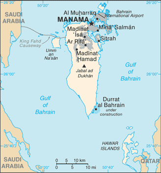
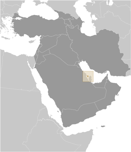
Bahrain (Manama):
Advertisement
GPS points near Ikur
 Kawkab al `Akr (0.5km)
Kawkab `Aqr (0.5km)
Ra's al `Akr (0.5km)
Ra's al `Aqr (0.5km)
Ras al Ikur (0.5km)
Ras al Ykur (0.5km)
Sitra (0.5km)
Sitrah (0.5km)
Al Ma`amir (1 km)
Ma'amir (1 km)
An Nuwaydirat (1 km)
Nuwaidirat (1 km)
Nuwaidrat (1 km)
Nuwaydirat (1 km)
Sitra (1 km)
Sitrah (1 km)
Wadiyah (1 km)
Kawkab al `Akr (0.5km)
Kawkab `Aqr (0.5km)
Ra's al `Akr (0.5km)
Ra's al `Aqr (0.5km)
Ras al Ikur (0.5km)
Ras al Ykur (0.5km)
Sitra (0.5km)
Sitrah (0.5km)
Al Ma`amir (1 km)
Ma'amir (1 km)
An Nuwaydirat (1 km)
Nuwaidirat (1 km)
Nuwaidrat (1 km)
Nuwaydirat (1 km)
Sitra (1 km)
Sitrah (1 km)
Wadiyah (1 km)
GPS points from Bahrain (Manama)
|