|
|
Weather Church Snapper Ground (Cloud cover, Temperature, Wind speed and Precipitation mm probab.)
Map and Photos Church Snapper Ground
Comments
Add a new comment: |
Members area
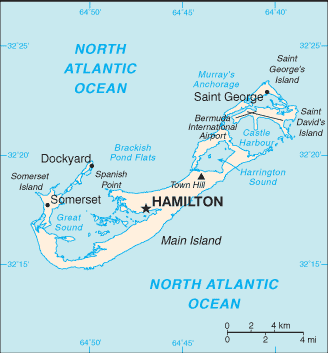
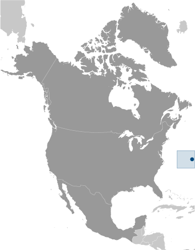
Bermuda [ United Kingdom ] (Overseas Territory):
Advertisement
GPS points near Church Snapper Ground
 Daniel's Island Flat (1 km)
  Daniel Island (2 km)
  Daniel's Island (2 km)
  Daniel's Head (2 km)
  Methelin Bay (2 km)
  Wreck Bay (2 km)
  King Charles Hole (3 km)
  Margaret's Bay (3 km)
  Church Bay (3 km)
  Great Harbour's Mouth (3 km)
  Long Bay (3 km)
  Callaghan Bay (3 km)
  Palm Island (3 km)
  Wreck Hill (3 km)
  Bethell's Island (3 km)
  Little Harbour's Mouth (3 km)
  Morgan's Island (3 km)
GPS points from Bermuda [ United Kingdom ] (Overseas Territory)
|


