|
|
|
Weather Bigar Chu (Cloud cover, Temperature, Wind speed and Precipitation mm probab.)
Map and Photos Bigar Chu
Comments
Add a new comment: |
Members area
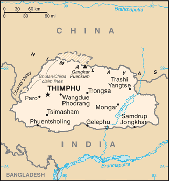
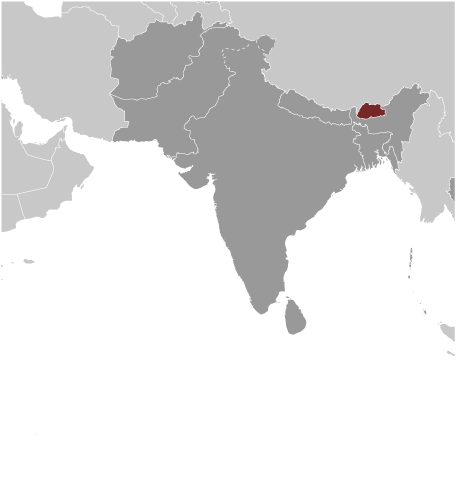
Bhutan (Thimphu):
Advertisement
GPS points near Bigar Chu
 Donkar (5 km)
Donga La (9 km)
Donga Pass (9 km)
Drongkhya La (9 km)
To-kan (9 km)
Tung-chia Shan-k'ou (9 km)
Tung-ko Shan-k'ou (9 km)
Lhobrak Chu (9 km)
Lhobrak River (9 km)
Lo-pu-la-k'o Ho (9 km)
Torma Shong (11 km)
Tormoshangsa (11 km)
Lenlung (11 km)
Lhuntshi (11 km)
Lhuntsi Dzong (11 km)
Lingshi Dzong (11 km)
Donkar (5 km)
Donga La (9 km)
Donga Pass (9 km)
Drongkhya La (9 km)
To-kan (9 km)
Tung-chia Shan-k'ou (9 km)
Tung-ko Shan-k'ou (9 km)
Lhobrak Chu (9 km)
Lhobrak River (9 km)
Lo-pu-la-k'o Ho (9 km)
Torma Shong (11 km)
Tormoshangsa (11 km)
Lenlung (11 km)
Lhuntshi (11 km)
Lhuntsi Dzong (11 km)
Lingshi Dzong (11 km)
GPS points from Bhutan (Thimphu)
|