|
|
|
Weather Wilhelmplatået (Cloud cover, Temperature, Wind speed and Precipitation mm probab.)
Map and Photos Wilhelmplataet
Comments
Add a new comment: |
Members area
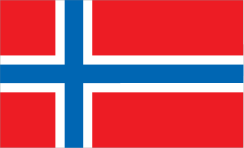
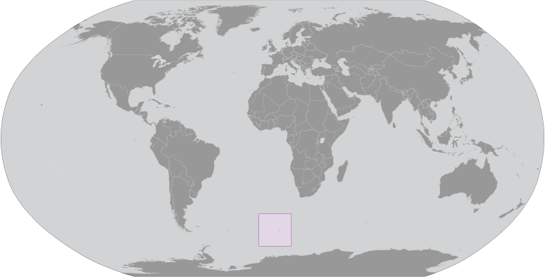
Bouvet Island [ Norway ] (Norway):
Advertisement
GPS points near Wilhelmplatået
 Mosby Peak (1 km)
Mosbys Topp (1 km)
Mosbytoppen (1 km)
Morgenstierne Coast (1 km)
Morgenstiernekysten (1 km)
Kaiser Wilhelm Pik (2 km)
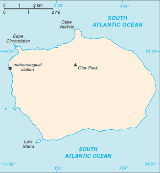
Olav Peak (2 km)
Olavs Topp (2 km)
Olavtoppen (2 km)
Esmarch Coast (2 km)
Esmarchkysten (2 km)
Bouvet (2 km)
Bouvet Island (2 km)
Bouvetoya (2 km)
Lykke Peak (2 km)
Lykkes Topp (2 km)
Lykketoppen (2 km)
Mosby Peak (1 km)
Mosbys Topp (1 km)
Mosbytoppen (1 km)
Morgenstierne Coast (1 km)
Morgenstiernekysten (1 km)
Kaiser Wilhelm Pik (2 km)
Olav Peak (2 km)
Olavs Topp (2 km)
Olavtoppen (2 km)
Esmarch Coast (2 km)
Esmarchkysten (2 km)
Bouvet (2 km)
Bouvet Island (2 km)
Bouvetoya (2 km)
Lykke Peak (2 km)
Lykkes Topp (2 km)
Lykketoppen (2 km)
GPS points from Bouvet Island [ Norway ] (Norway)
|