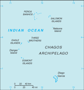
Middle Pass
7°13'0" S
72°25'0" E
16:37 (IOT - UTC/GMT+6)
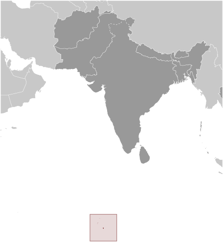
Middle Pass (Middle Pass) is a channel (class H - Hydrographic) in (British Indian Ocean Territory (general)), British Indian Ocean Territory [ United Kingdom ] (Asia) with the region font code of Americas/Western Europe.
Its coordinates are 7°13'0" S and 72°25'0" E in DMS (Degrees Minutes Seconds) or -7.21667 and 72.4167 (in decimal degrees). Its UTM position is BN10 and its Joint Operation Graphics reference is SB43-13.
Current local time is 16:37; the sun rises at 08:54 and sets at 21:01 local time (Indian/Chagos UTC/GMT+6). The standard time zone for Middle Pass is UTC/GMT+6
In 2024 DST starts on - and ends on -.
A Channel is the deepest part of a stream, bay, lagoon, or strait, through which the main current flows.
|
Advertisements:
Advertisements:
|
Weather Middle Pass (Cloud cover, Temperature, Wind speed and Precipitation mm probab.)
Wed
Apr 24
28 °C min
29 °C max
34 km/h
Thu Jan 1
|
Thu
Apr 25
28 °C min
29 °C max
29 km/h
Thu Jan 1
|
Fri
Apr 26
~1 l/m2 29%
28 °C min
29 °C max
32 km/h
Thu Jan 1
|
Sat
Apr 27
~0.3 l/m2 15%
28 °C min
29 °C max
29 km/h
Thu Jan 1
|
Sun
Apr 28
~15 l/m2 71%
27 °C min
29 °C max
26 km/h
Thu Jan 1
|
Mon
Apr 29
~30 l/m2 78%
27 °C min
29 °C max
27 km/h
Thu Jan 1
|
|
|
Map and Photos Middle Pass
--- There are no comments yet ---
Add a new comment:
|
Members area
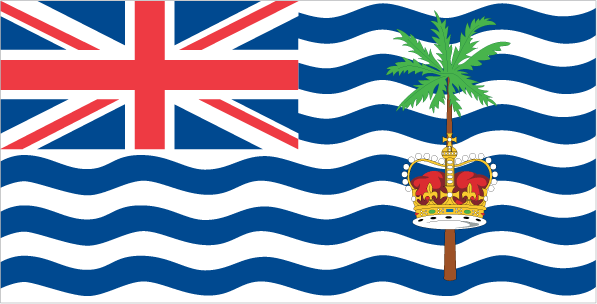
British Indian Ocean Territory [ United Kingdom ] (Overseas Territory):
Advertisement
GPS points near Middle Pass
GPS points from British Indian Ocean Territory [ United Kingdom ] (Overseas Territory)
 Ile Manoel British Indian Ocean Territory (general)
Main Pass British Indian Ocean Territory (general)
Orient Bay British Indian Ocean Territory (general)
|