14°11'7" N
103°5'38" E
~82m asl
08:39 (ICT - UTC/GMT+7)
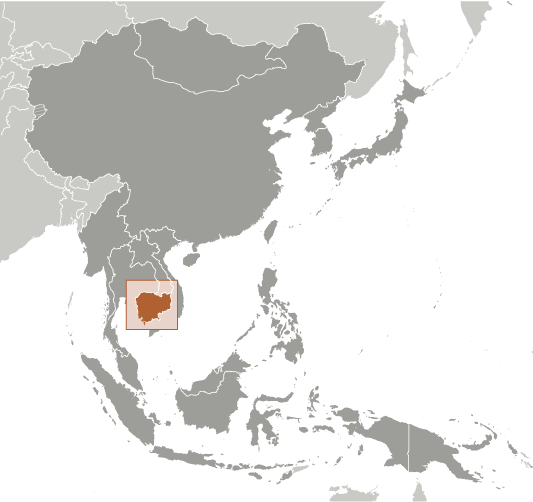
Oprasatpho River (Oprasatpho River) is a intermittent stream (class H - Hydrographic) in Otar Meanchey ((CB20)), Cambodia (Asia) with the region font code of Asia/Pacific. It is located at an elevation of 82 meters above sea level.
Oprasatpho River is also known as Au Prasat Pok, O Prasat Po, O Prasat Pok, O Roessei Toch, O Russei Toch, O Rœssei Toch, O Rŭssei Toch, Oprasatpho River.
Its coordinates are 14°11'7" N and 103°5'38" E in DMS (Degrees Minutes Seconds) or 14.1853 and 103.094 (in decimal degrees). Its UTM position is TA96 and its Joint Operation Graphics reference is ND48-05.
Current local time is 08:39; the sun rises at 08:54 and sets at 21:01 local time (Asia/Phnom_Penh UTC/GMT+7). The standard time zone for Oprasatpho River is UTC/GMT+7
In 2024 DST starts on - and ends on -.
|
Advertisements:
Advertisements:
|
Weather Oprasatpho River (Cloud cover, Temperature, Wind speed and Precipitation mm probab.)
Wed
Apr 24
27 °C min
42 °C max
18 km/h
Thu Jan 1
|
Thu
Apr 25
27 °C min
42 °C max
24 km/h
Thu Jan 1
|
Fri
Apr 26
28 °C min
43 °C max
23 km/h
Thu Jan 1
|
Sat
Apr 27
27 °C min
43 °C max
20 km/h
Thu Jan 1
|
Sun
Apr 28
28 °C min
43 °C max
29 km/h
Thu Jan 1
|
Mon
Apr 29
27 °C min
44 °C max
24 km/h
Thu Jan 1
|
|
|
O Roessei Toch (Otar Meanchey) 7 day forecast
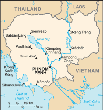
Map and Photos Oprasatpho River
--- There are no comments yet ---
Add a new comment:
|
Members area
Cambodia (Phnom Penh):
Advertisement
GPS points near Oprasatpho River
GPS points from Cambodia (Phnom Penh)
|
 Oprasatpho River (0.5km)