Ho Chi Minh Trail
17°28'60" N
106°36'0" E
13:19 (ICT - UTC/GMT+7)
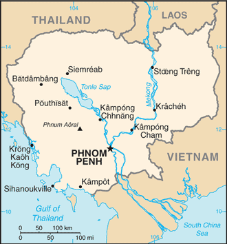
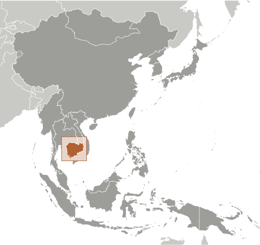
Ho Chi Minh Trail (Ho Chi Minh Trail) is a trail (class R - Streets/Highways/Roads) in (Cambodia (general)), Cambodia (Asia) with the region font code of Asia/Pacific.
Its coordinates are 17°28'60" N and 106°36'0" E in DMS (Degrees Minutes Seconds) or 17.4833 and 106.6 (in decimal degrees). Its UTM position is XE63 and its Joint Operation Graphics reference is NE48-12.
Current local time is 13:19; the sun rises at 08:55 and sets at 21:02 local time (Asia/Phnom_Penh UTC/GMT+7). The standard time zone for Ho Chi Minh Trail is UTC/GMT+7
In 2024 DST starts on - and ends on -.
A Trail is a path, track, or route used by pedestrians, animals, or off-road vehicles.
|
Advertisements:
Advertisements:
|
Weather Ho Chi Minh Trail (Cloud cover, Temperature, Wind speed and Precipitation mm probab.)
Thu
Apr 18
27 °C min
28 °C max
10 km/h
Thu Jan 1
|
Fri
Apr 19
25 °C min
36 °C max
17 km/h
Thu Jan 1
|
Sat
Apr 20
26 °C min
38 °C max
21 km/h
Thu Jan 1
|
Sun
Apr 21
26 °C min
39 °C max
20 km/h
Thu Jan 1
|
Mon
Apr 22
23 °C min
40 °C max
14 km/h
Thu Jan 1
|
Tue
Apr 23
~1 l/m2 42%
23 °C min
35 °C max
18 km/h
Thu Jan 1
|
|
|
Map and Photos Ho Chi Minh Trail
--- There are no comments yet ---
Add a new comment:
|
Advertisement
Members area
Cambodia (Phnom Penh):
GPS points from Cambodia (Phnom Penh)
|