|
|
|
Yang-chia-hsü
Weather Yang-chia-hsü (Cloud cover, Temperature, Wind speed and Precipitation mm probab.)
Map and Photos Yang-chia-hsu
Comments
Add a new comment: |
Members area
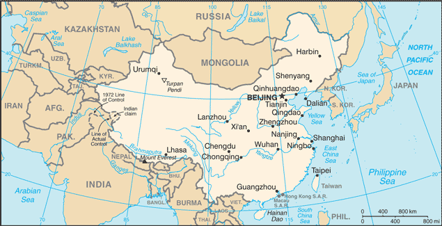
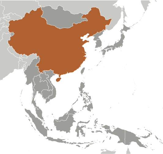
China (Beijing):
Advertisement
GPS points near Yang-chia-hsü
 Tang-kung-hsu (0.5km)
Yang-chia-hsu (0.5km)
Yanggongxu (0.5km)
Yang-kung-hsu (0.5km)
Litang (3 km)
Yangxu (3 km)
Gangbei (5 km)
Magang Shuiku (6 km)
Xianyuanyichang (6 km)
Sixi (7 km)
Ssu-hsi (7 km)
Tangxiamiao (9 km)
Hucheng (9 km)
Liangtian (10 km)
Longtanqiaojie (10 km)
Cunqian (11 km)
Ts'un-ch'ien (11 km)
Tang-kung-hsu (0.5km)
Yang-chia-hsu (0.5km)
Yanggongxu (0.5km)
Yang-kung-hsu (0.5km)
Litang (3 km)
Yangxu (3 km)
Gangbei (5 km)
Magang Shuiku (6 km)
Xianyuanyichang (6 km)
Sixi (7 km)
Ssu-hsi (7 km)
Tangxiamiao (9 km)
Hucheng (9 km)
Liangtian (10 km)
Longtanqiaojie (10 km)
Cunqian (11 km)
Ts'un-ch'ien (11 km)
GPS points from China (Beijing)
|