|
|
Weather Loma El Nanzalito (Cloud cover, Temperature, Wind speed and Precipitation mm probab.)
Map and Photos Loma El Nanzalito
Comments
Add a new comment: |
Members area
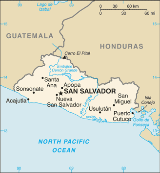
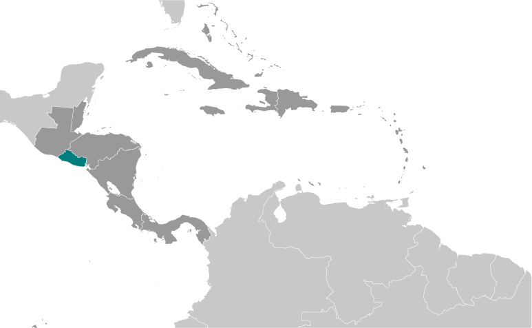
El Salvador (San Salvador):
Advertisement
GPS points near Loma El Nanzalito
 Quebrada El Jutal (0.5km)
  Borja (1 km)
  Loma El Tesoro (1 km)
  Hacienda El Camalote (1 km)
  El Camalote (1 km)
  Quebrada El Camalote (1 km)
  Rio El Izcanal (1 km)
  Nueva York (1 km)
  Cara Sucia (1 km)
  Hacienda Nueva York (1 km)
  Iravol (2 km)
  Hacienda Izcanal (2 km)
  Rio Cara Sucia (2 km)
  Maishtapula (2 km)
  Cara (2 km)
  Cara Sucia (2 km)
  Hacienda Santa Maria (2 km)
GPS points from El Salvador (San Salvador)
|


