5°16'60" N
52°34'60" W
~0m asl
16:56 (GFT - UTC/GMT--3)
Safety Islands (Safety Islands) is a islands (class T - Hypsographic) in French Guiana (general), French Guiana [ France ] (South America) with the region font code of Americas/Western Europe...
Safety Islands is also known as Iles au Diable, Iles du Salut, Isle de Salute, Safety Islands, Salut Islands, Îles du Salut.
Its coordinates are 5°16'60" N and 52°34'60" W in DMS (Degrees Minutes Seconds) or 5.28333 and -52.5833 (in decimal degrees). Its UTM position is CL28 and its Joint Operation Graphics reference is NB22-09.
Current local time is 16:56; the sun rises at 08:55 and sets at 21:02 local time (America/Cayenne UTC/GMT-3). The standard time zone for Safety Islands is UTC/GMT-3
In 2024 DST starts on - and ends on -.
A Islands is tracts of land, smaller than a continent, surrounded by water at high water.
|
Advertisements:
Advertisements:
|
Weather Safety Islands (Cloud cover, Temperature, Wind speed and Precipitation mm probab.)
Mon
Apr 15
~5 l/m2 51%
27 °C min
28 °C max
25 km/h
Thu Jan 1
|
Tue
Apr 16
~10 l/m2 63%
26 °C min
29 °C max
25 km/h
Thu Jan 1
|
Wed
Apr 17
~31 l/m2 88%
26 °C min
29 °C max
24 km/h
Thu Jan 1
|
Thu
Apr 18
~54 l/m2 95%
25 °C min
28 °C max
19 km/h
Thu Jan 1
|
Fri
Apr 19
~37 l/m2 86%
25 °C min
28 °C max
23 km/h
Thu Jan 1
|
Sat
Apr 20
~1 l/m2 23%
26 °C min
28 °C max
24 km/h
Thu Jan 1
|
|
|
Iles du Salut (French Guiana (general)) 7 day forecast
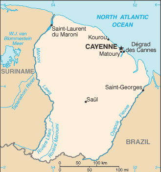
Map and Photos Safety Islands
--- There are no comments yet ---
Add a new comment:
|
Members area
Advertisement
GPS points near Safety Islands
GPS points from French Guiana [ France ] (Overseas Department)
|