|
|
|
Weather Baydara (Cloud cover, Temperature, Wind speed and Precipitation mm probab.)
Map and Photos Baydara
Comments
Add a new comment: |
Members area
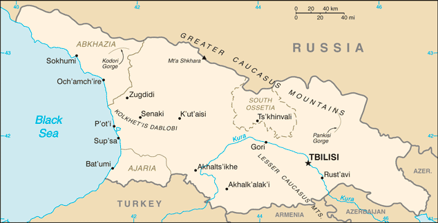
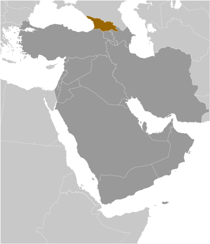
Georgia (Tbilisi):
Advertisement
GPS points near Baydara
 Reka Narvan (0.5km)
Narvani (0.5km)
Kobi (0.5km)
Nizhniye Ukhati (1 km)
Ukhat'i (1 km)
Almasiani (1 km)
Milioni (1 km)
Miloni (1 km)
Ukhatskoye Ushchel'ye (2 km)
Gora Sut (3 km)
Nogkau (3 km)
Kanobi (3 km)
Lanobi (3 km)
Agatkau (3 km)
Shavardeni (3 km)
Shevardeni (3 km)
Denkara (3 km)
Reka Narvan (0.5km)
Narvani (0.5km)
Kobi (0.5km)
Nizhniye Ukhati (1 km)
Ukhat'i (1 km)
Almasiani (1 km)
Milioni (1 km)
Miloni (1 km)
Ukhatskoye Ushchel'ye (2 km)
Gora Sut (3 km)
Nogkau (3 km)
Kanobi (3 km)
Lanobi (3 km)
Agatkau (3 km)
Shavardeni (3 km)
Shevardeni (3 km)
Denkara (3 km)
GPS points from Georgia (Tbilisi)
|