|
|
|
Weather Boltsa (Cloud cover, Temperature, Wind speed and Precipitation mm probab.)
Map and Photos Boltsa
Comments
Add a new comment: |
Members area
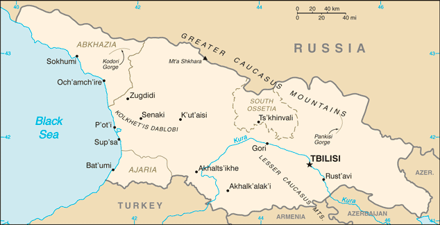
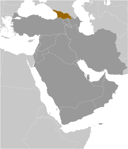
Georgia (Tbilisi):
Advertisement
GPS points near Boltsa
 Eniseli (0.5km)
Yeniseli (0.5km)
Yeviseli (0.5km)
Gremi (1 km)
Almati (3 km)
Gora Teliani (3 km)
Sabue (3 km)
Sabuye (3 km)
Khrebet Sameba (3 km)
Grdzeli Chala (4 km)
Inchoba (5 km)
Intsoba (5 km)
Shilda (5 km)
Sepora (5 km)
Kherkhmelis-Magali (6 km)
Shakrian' (6 km)
Shak'riani (6 km)
Eniseli (0.5km)
Yeniseli (0.5km)
Yeviseli (0.5km)
Gremi (1 km)
Almati (3 km)
Gora Teliani (3 km)
Sabue (3 km)
Sabuye (3 km)
Khrebet Sameba (3 km)
Grdzeli Chala (4 km)
Inchoba (5 km)
Intsoba (5 km)
Shilda (5 km)
Sepora (5 km)
Kherkhmelis-Magali (6 km)
Shakrian' (6 km)
Shak'riani (6 km)
GPS points from Georgia (Tbilisi)
|