76°51'0" N
19°27'0" W
~1m asl
15:07 (WGST - UTC/GMT--2)
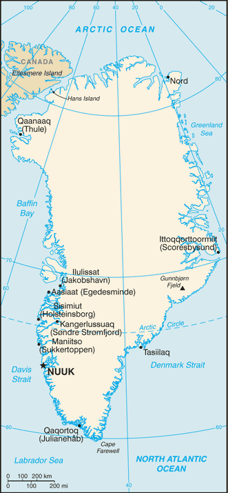
Winges Kyst (Winges Kyst) is a coast (class L - Area) in Ostgronland (Østgrønland), Greenland [ Denmark ] (North America) with the region font code of Americas/Western Europe. It is located at an elevation of 1 meters above sea level.
Winges Kyst is also known as Winge Kyst, Winges Kyst.
Its coordinates are 76°51'0" N and 19°27'0" W in DMS (Degrees Minutes Seconds) or 76.85 and -19.45 (in decimal degrees). Its UTM position is WF33 and its Joint Operation Graphics reference is NT25-15.
Current local time is 15:07; the sun rises at 07:55 and sets at 20:02 local time (America/Godthab UTC/GMT-2). The standard time zone for Winges Kyst is UTC/GMT-3, but since Daylight Saving Time (DST) is in effect the current time zone is UTC/GMT-2.
In 2024 DST starts on 31 Mar 2024 and ends on 27 Oct 2024.
A Coast is a zone of variable width straddling the shoreline.
|
Advertisements:
Advertisements:
|
Weather Winges Kyst (Cloud cover, Temperature, Wind speed and Precipitation mm probab.)
Fri
Apr 19
-18 °C min
-12 °C max
16 km/h
Thu Jan 1
|
Sat
Apr 20
-21 °C min
-14 °C max
9 km/h
Thu Jan 1
|
Sun
Apr 21
-18 °C min
-8 °C max
19 km/h
Thu Jan 1
|
Mon
Apr 22
-17 °C min
-5 °C max
15 km/h
Thu Jan 1
|
Tue
Apr 23
-12 °C min
-6 °C max
9 km/h
Thu Jan 1
|
Wed
Apr 24
-13 °C min
-3 °C max
6 km/h
Thu Jan 1
|
|
|
Winge Kyst (Ostgronland) 7 day forecast
Map and Photos Winges Kyst
--- There are no comments yet ---
Add a new comment:
|
Members area
Greenland [ Denmark ] (Denmark):
Advertisement
GPS points near Winges Kyst
GPS points from Greenland [ Denmark ] (Denmark)
|
 Snenas (3 km)