English   Română   Español   Français   Deutsch  

getamap.net

Africa

Oceania

Asia

North America

Europe

South America

Antarctica


Jawa Tengah (5,319 GPS points)


Wonosari
Wonosari

populated place
Wonosegoro
Wonosegoro

populated place
Wonosuko
Wonosuko

populated place
Wonotunggal
Wonotunggal

populated place
Wonoyose
Wonoyose

populated place
Woroksihan
Woroksihan

populated place
Wotan
Wotan

populated place
Wringinpitu
Wringinpitu

populated place
Wringinputih
Wringinputih

populated place
Wringintelu
Wringintelu

populated place
Wringnanom
Wringnanom

populated place
Wudjil
Wudjil

populated place
Wujil
Wujil

populated place
Gunung Wulan
Wulan Gunung

hill
Wuluhan
Wuluhan

populated place
Wuluhgede
Wuluhgede

populated place
Wuluhmalang
Wuluhmalang

populated place
Wulunggunung
Wulunggunung

populated place
Daerah Istimewa...
Yogyakarta Daerahistimewa

first-order administrative division

Comments

--- There are no comments yet ---


Add a new comment:


You have to log in to add a comment!


Advertisement


Members area


Register

Forgot password?

Indonesia (Jakarta):
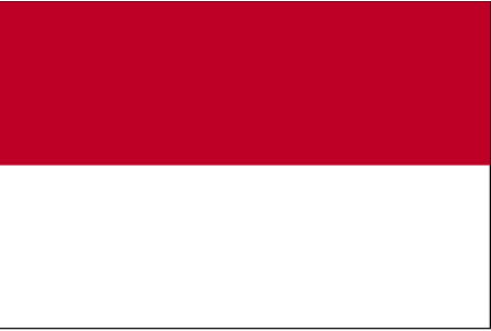
Country Flag
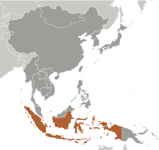
Country Locator

GPS points from Indonesia (Jakarta)

square Mindi Central Java

square Jomblang Daerah Istimewa Yogyakarta

square Ngemplak Daerah Istimewa Yogyakarta

square Soengai Taboeloes Indonesia (general)

square Boeloe Batoe Sangia Indonesia (general)

square Danau Prins Bernhard Indonesia (general)

square Muaramati Jawa Barat

square Tanjung Ranbausawa Indonesia (general)


viewweather.com sv.ViewWeather.com
fr.ViewWeather.com
da.ViewWeather.com
de.ViewWeather.com
es.ViewWeather.com
www.carpati.org
www.searchromania.net
Deblocari usi
es.getamap.org
fr.getamap.org
de.getamap.org
nl.getamap.org
da.getamap.org
www.getamap.org
Links
Terms of use
Privacy policy

# 0.0333 sec 

contact AT getamap.net

© 2006 - 2024  https://www.getamap.net/