|
|
|
Weather Borgo Fusara (Cloud cover, Temperature, Wind speed and Precipitation mm probab.)
Map and Photos Borgo Fusara
Comments
Add a new comment: |
Members area
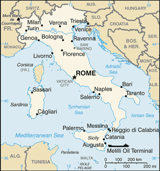
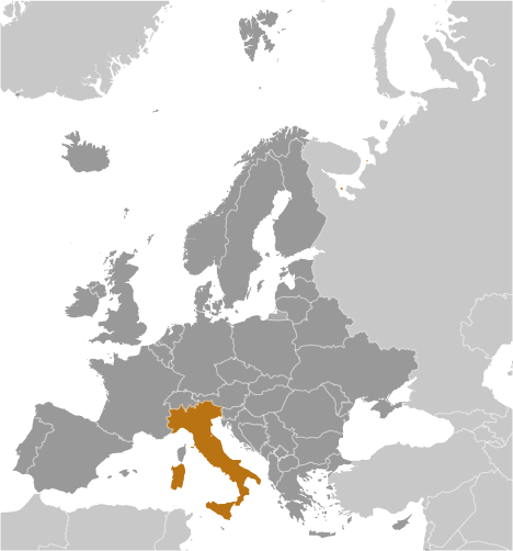
Italy (Rome):
Advertisement
GPS points near Borgo Fusara
 Borgata Zarattini (1 km)
Case Zaratini (1 km)
Camerlona (2 km)
Borghetto (3 km)
Borgo dell Anime (3 km)
Scolo Via Cupa (3 km)
San Michele (4 km)
Ammonite (4 km)
Le Ammonite (4 km)
Piangipane (4 km)
Casa Rasi (4 km)
Villanova (4 km)
Darsena di Ravenna (4 km)
Porto di Ravenna (4 km)
Ravenna (5 km)
Chiesa (5 km)
Montagnola (5 km)
Borgata Zarattini (1 km)
Case Zaratini (1 km)
Camerlona (2 km)
Borghetto (3 km)
Borgo dell Anime (3 km)
Scolo Via Cupa (3 km)
San Michele (4 km)
Ammonite (4 km)
Le Ammonite (4 km)
Piangipane (4 km)
Casa Rasi (4 km)
Villanova (4 km)
Darsena di Ravenna (4 km)
Porto di Ravenna (4 km)
Ravenna (5 km)
Chiesa (5 km)
Montagnola (5 km)
GPS points from Italy (Rome)
|