|
|
|
Weather Sant'Oliva (Cloud cover, Temperature, Wind speed and Precipitation mm probab.)
Map and Photos Sant'Oliva
Comments
Add a new comment: |
Members area
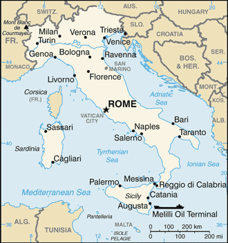
Italy (Rome):
Advertisement
GPS points near Sant'Oliva
 Rio della Fornara (1 km)
Banchina Azzurra (1 km)
Monticelli (2 km)
Rio Terracina (4 km)
Monte Pota (4 km)
Monte d' Oro (4 km)
Pontecorvo (4 km)
Rio Polleca (4 km)
Esperia (5 km)
Monte Leucio (6 km)
Monti Aurunci (6 km)
Pico (6 km)
Monte Coculo (7 km)
Monte Faggeto (7 km)
Monte Fammera (7 km)
Rio Ceraso (8 km)
Monte Pastenese (8 km)
Rio della Fornara (1 km)
Banchina Azzurra (1 km)
Monticelli (2 km)
Rio Terracina (4 km)
Monte Pota (4 km)
Monte d' Oro (4 km)
Pontecorvo (4 km)
Rio Polleca (4 km)
Esperia (5 km)
Monte Leucio (6 km)
Monti Aurunci (6 km)
Pico (6 km)
Monte Coculo (7 km)
Monte Faggeto (7 km)
Monte Fammera (7 km)
Rio Ceraso (8 km)
Monte Pastenese (8 km)
GPS points from Italy (Rome)
|