|
|
Weather `Ain Um el Laja (Cloud cover, Temperature, Wind speed and Precipitation mm probab.)
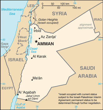
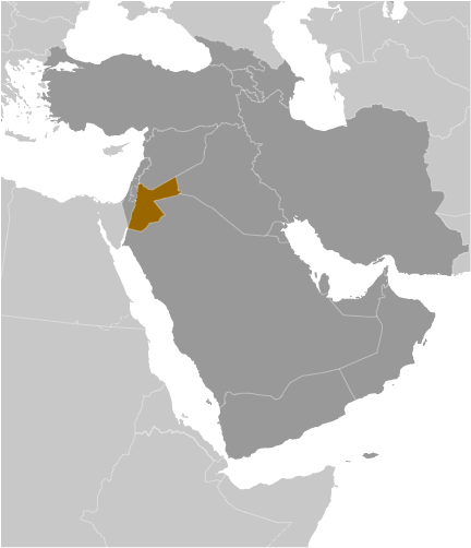
Map and Photos `Ain Um el Laja
Comments
Add a new comment: |
Members area
Jordan (Amman):
Advertisement
GPS points near `Ain Um el Laja
 Ibdar (1 km)
  Ibder (1 km)
  `Ain el Maghara (1 km)
  `Ayn al Magharah (1 km)
  `Ain Um et Turab (1 km)
  `Ayn Umm at Turab (1 km)
  Samar (1 km)
  Kafr Sawm (1 km)
  Kufr as Sawm (1 km)
  Kufr Saum (1 km)
  Kufr Som (1 km)
  `Ain el Barida (2 km)
  `Ayn al Baridah (2 km)
  El `Ain el Fauqa (2 km)
  Al `Ayn al Fawqa (2 km)
  `Ayn al Kufayr (2 km)
  `Ain el Kufeir (2 km)
GPS points from Jordan (Amman)
|


