54°45'26" N
22°58'12" E
~63m asl
11:28 (EEST - UTC/GMT+3)
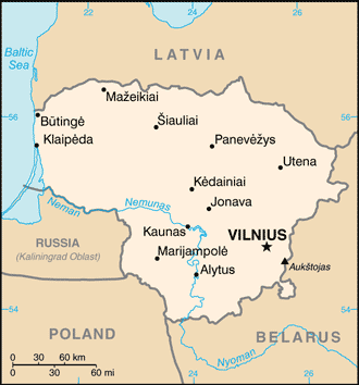
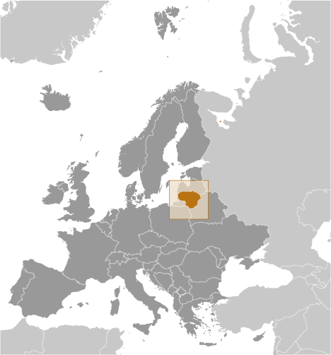
Slabaday (Slabaday) is a populated place (class P - Populated Place) in Marijampoles Apskritis (Lithuania (general)), Lithuania (Europe) with the region font code of Eastern Europe. It is located at an elevation of 63 meters above sea level and its population amounts to 1,976.
Slabaday is also known as Slabadai, Slabadaj, Slabaday, Slabados, Slabadu, Slabadų, Sloboda, Слабадай.
Its coordinates are 54°45'26" N and 22°58'12" E in DMS (Degrees Minutes Seconds) or 54.7572 and 22.97 (in decimal degrees). Its UTM position is FF26 and its Joint Operation Graphics reference is NN34-06.
Current local time is 11:28; the sun rises at 07:55 and sets at 20:02 local time (Europe/Vilnius UTC/GMT+3). The standard time zone for Slabaday is UTC/GMT+2, but since Daylight Saving Time (DST) is in effect the current time zone is UTC/GMT+3.
In 2024 DST starts on 31 Mar 2024 and ends on 27 Oct 2024.
A Populated place is a city, town, village, or other agglomeration of buildings where people live and work.
|
Advertisements:
Advertisements:
|