|
|
|
Advertisements:
Administrative divisions (131 GPS Maps)
Comments
Add a new comment: |
Advertisement
Members area
Macau S A R (Special Administrative Region):
GPS points from Macau S A R (Special Administrative Region)
|
||||||||
|
|
|
Advertisements:
Administrative divisions (131 GPS Maps)
Comments
Add a new comment: |
Advertisement
Members area
Macau S A R (Special Administrative Region):
GPS points from Macau S A R (Special Administrative Region)
|
||||||||
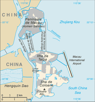
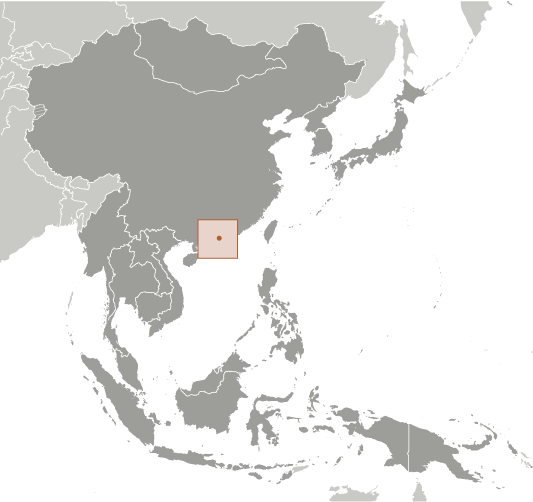
 Colonized by the Portuguese in the 16th century, Macau was the first European settlement in the Far East. Pursuant to an agreement signed by China and Portugal on 13 April 1987, Macau became the Macau Special Administrative Region (SAR) of the People's Republic of China on 20 December 1999. In this agreement, China promised that, under its "one country, two systems" formula, China's political and economic system would not be imposed on Macau, and that Macau would enjoy a high degree of autonomy in all matters except foreign affairs and defense for the next 50 years.