|
|
|
Weather Limbo Kandu (Cloud cover, Temperature, Wind speed and Precipitation mm probab.)
Map and Photos Limbo Kandu
Comments
Add a new comment: |
Members area
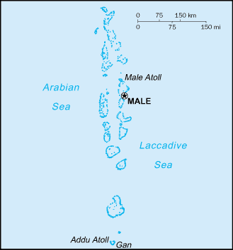
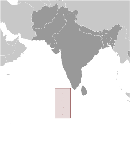
Maldives (Male):
Advertisement
GPS points near Limbo Kandu
 Manafuri (4 km)
Farufuri (5 km)
Wewoa (5 km)
Kuda Faro (5 km)
Eugiri Faro (7 km)
Fugiri-Faro (7 km)
Kandu Gandu (7 km)
Ekuru Faro (8 km)
Lundu (8 km)
Mahmagili (8 km)
Hurudu (9 km)
Hundudu (9 km)
Furidu (9 km)
Anguretin (10 km)
Digu Faro (10 km)
Ongulu (11 km)
Maalhosmadulu Uthuruburi (11 km)
Manafuri (4 km)
Farufuri (5 km)
Wewoa (5 km)
Kuda Faro (5 km)
Eugiri Faro (7 km)
Fugiri-Faro (7 km)
Kandu Gandu (7 km)
Ekuru Faro (8 km)
Lundu (8 km)
Mahmagili (8 km)
Hurudu (9 km)
Hundudu (9 km)
Furidu (9 km)
Anguretin (10 km)
Digu Faro (10 km)
Ongulu (11 km)
Maalhosmadulu Uthuruburi (11 km)
GPS points from Maldives (Male)
|