English   Română   Español   Français   Deutsch  

getamap.net

Africa

Oceania

Asia

North America

Europe

South America

Antarctica


Bangaloumaou

(Kouamanda) / New Caledonia (general)

20°52'0" S
164°33'0" E
~46m asl
12:14 (NCT - UTC/GMT+11)

Bangaloumaou (Bangaloumaou) is a hill (class T - Hypsographic) in New Caledonia (general), New Caledonia [ France ] (Oceania) with the region font code of Americas/Western Europe. It is located at an elevation of 46 meters above sea level.

Its coordinates are 20°52'0" S and 164°33'0" E in DMS (Degrees Minutes Seconds) or -20.8667 and 164.55 (in decimal degrees). Its UTM position is DB59 and its Joint Operation Graphics reference is SF58-02.

Current local time is 12:14; the sun rises at 08:55 and sets at 21:02 local time (Pacific/Noumea UTC/GMT+11). The standard time zone for Bangaloumaou is UTC/GMT+11
In 2024 DST starts on - and ends on -.

A Hill is a rounded elevation of limited extent rising above the surrounding land with local relief of less than 300m.


Country
 Advertisements:


 Advertisements:


Weather Bangaloumaou (Cloud cover, Temperature, Wind speed and Precipitation mm probab.)

Sat


Apr 20
Clound 10-20-40-90 Lightning
~1 l/m2 41%
 
24 °C min
28 °C max
23 km/h
Thu Jan 1

Sun


Apr 21
Clound 20-20-70-90 Lightning
~4 l/m2 62%
 
24 °C min
28 °C max
15 km/h
Thu Jan 1

Mon


Apr 22
Clound 40-50-40-70 Mist Lightning
~15 l/m2 64%
 
24 °C min
26 °C max
36 km/h
Thu Jan 1

Tue


Apr 23
Clound 40-70-50-10 Lightning
~12 l/m2 65%
 
23 °C min
26 °C max
30 km/h
Thu Jan 1

Wed


Apr 24
Clound 20-70-0-10 Mist
~2 l/m2 43%
 
24 °C min
26 °C max
30 km/h
Thu Jan 1

Thu


Apr 25
Clound 10-20-0-40
 
23 °C min
26 °C max
21 km/h
Thu Jan 1

Weather Graph

Kouamanda (New Caledonia (general)) 7 day forecast
 

Map and Photos Bangaloumaou


Comments

--- There are no comments yet ---


Add a new comment:


You have to log in to add a comment!


Members area


Register

Forgot password?

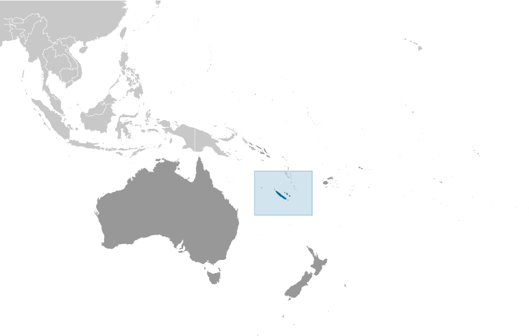
New Caledonia [ France ] (Overseas Territory):

Advertisement


GPS points near Bangaloumaou

square Halitchi (1 km)

square Kouapach (1 km)

square Ouendjia (1 km)

square Ponjicala (1 km)

square Taom (1 km)

square Tepah Mandai (2 km)

square Pautoli (2 km)

square Bouampoua (2 km)

square Kouassanguet (3 km)

square Ouecou (3 km)

square Bouahinda (3 km)

square Poueabab (3 km)

square Taom (4 km)


square Tambo (4 km)


GPS points from New Caledonia [ France ] (Overseas Territory)

square Baie D' Ouarai New Caledonia (general)

square Nin'ghit New Caledonia (general)

square Mont Kabeyanda New Caledonia (general)

square Temi New Caledonia (general)

square Pieh New Caledonia (general)

square Napoue Areu New Caledonia (general)

square Pointe Aime Martin New Caledonia (general)

square La Couvelee New Caledonia (general)


viewweather.com sv.ViewWeather.com
fr.ViewWeather.com
da.ViewWeather.com
de.ViewWeather.com
es.ViewWeather.com
www.carpati.org
www.searchromania.net
Deblocari usi
es.getamap.org
fr.getamap.org
de.getamap.org
nl.getamap.org
da.getamap.org
www.getamap.org
Links
Terms of use
Privacy policy

# 0.0648 sec 

contact AT getamap.net

© 2006 - 2024  https://www.getamap.net/