English   Română   Español   Français   Deutsch  

getamap.net

Africa

Oceania

Asia

North America

Europe

South America

Antarctica


21°36'0" S
167°58'1" E
~47m asl
04:44 (NCT - UTC/GMT+11)

Ure (Uré) is a hill (class T - Hypsographic) in New Caledonia (general), New Caledonia [ France ] (Oceania) with the region font code of Americas/Western Europe. It is located at an elevation of 47 meters above sea level.

Its coordinates are 21°36'0" S and 167°58'1" E in DMS (Degrees Minutes Seconds) or -21.6 and 167.967 (in decimal degrees). Its UTM position is HB00 and its Joint Operation Graphics reference is SF58-08.

Current local time is 04:44; the sun rises at 08:55 and sets at 21:02 local time (Pacific/Noumea UTC/GMT+11). The standard time zone for Ure is UTC/GMT+11
In 2024 DST starts on - and ends on -.

A Hill is a rounded elevation of limited extent rising above the surrounding land with local relief of less than 300m.


Country
 Advertisements:


 Advertisements:


Weather Uré (Cloud cover, Temperature, Wind speed and Precipitation mm probab.)

Thu


Apr 18
Clound 40-80-0-10 Mist
~0.4 l/m2 42%
 
24 °C min
25 °C max
31 km/h
Thu Jan 1

Fri


Apr 19
Clound 20-30-40-100 Mist
~1 l/m2 27%
 
24 °C min
27 °C max
32 km/h
Thu Jan 1

Sat


Apr 20
Clound 0-70-20-100 Mist
 
24 °C min
27 °C max
22 km/h
Thu Jan 1

Sun


Apr 21
Clound 30-30-40-50 Mist Lightning
~1 l/m2 33%
 
24 °C min
28 °C max
27 km/h
Thu Jan 1

Mon


Apr 22
Clound 10-20-20-50 Mist Lightning
~1 l/m2 37%
 
24 °C min
30 °C max
13 km/h
Thu Jan 1

Tue


Apr 23
Clound 10-20-10-20 Lightning
~1 l/m2 23%
 
24 °C min
30 °C max
11 km/h
Thu Jan 1

Weather Graph

Ure (New Caledonia (general)) 7 day forecast
 

Map and Photos Ure


Comments

--- There are no comments yet ---


Add a new comment:


You have to log in to add a comment!


Members area


Register

Forgot password?

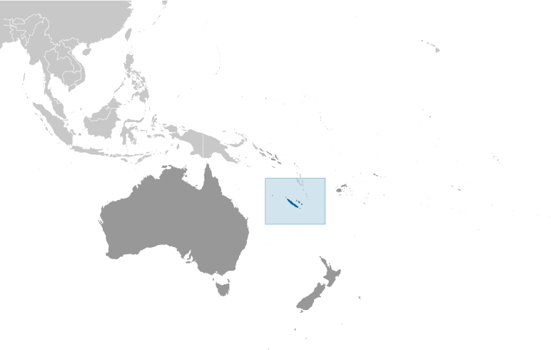
New Caledonia [ France ] (Overseas Territory):

Advertisement


GPS points near Uré

square Tarete (0.5km)

square Ure (0.5km)

square Awi (1 km)

square Hnawareje (1 km)

square Kagajui (1 km)

square Niri (1 km)

square Waluo (1 km)

square Pudjele (2 km)

square Medu (2 km)

square Ouabao (3 km)

square Pewaderale (3 km)

square Uapao (3 km)

square Wabao (3 km)

square Baie de Niri (3 km)

square Pegugethenge (3 km)

square Eni (4 km)

square Pointe Medou (4 km)


GPS points from New Caledonia [ France ] (Overseas Territory)

square Passe De Gatope New Caledonia (general)

square Col De Tonghoue New Caledonia (general)

square Me Ouie New Caledonia (general)

square Temele New Caledonia (general)

square Barrage De Yate New Caledonia (general)

square Oueregaki New Caledonia (general)

square Ile Kutumo New Caledonia (general)

square Ouen Koko New Caledonia (general)


viewweather.com sv.ViewWeather.com
fr.ViewWeather.com
da.ViewWeather.com
de.ViewWeather.com
es.ViewWeather.com
www.carpati.org
www.searchromania.net
Deblocari usi
es.getamap.org
fr.getamap.org
de.getamap.org
nl.getamap.org
da.getamap.org
www.getamap.org
Links
Terms of use
Privacy policy

# 0.0611 sec 

contact AT getamap.net

© 2006 - 2024  https://www.getamap.net/