English   Română   Español   Français   Deutsch  

getamap.net

Africa

Oceania

Asia

North America

Europe

South America

Antarctica


Administrative divisions (GPS Maps)

Geography

People and Society

Government

Economy

Communications

Transportation

Military


After three decades as part of the UN Trust Territory of the Pacific under US administration, this westernmost cluster of the Caroline Islands opted for independence in 1978 rather than join the Federated States of Micronesia. A Compact of Free Association with the US was approved in 1986 but not ratified until 1993. It entered into force the following year when the islands gained independence.


Advertisements:

Advertisements Advertisements


Administrative divisions (2,949 GPS Maps)


Comments

--- There are no comments yet ---


Add a new comment:


You have to log in to add a comment!


Advertisement


Members area


Register

Forgot password?

Palau (Koror):
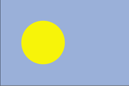
Country Flag
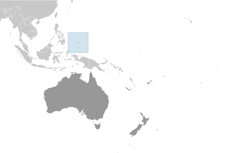
Country Locator

GPS points from Palau (Koror)

square Namako-to State Of Koror

square Mount Gamedo Palau (general)

square Garurudo Palau (general)

square Garakabaru-to Palau (general)

square Chechol Palau (general)

square Lkes Palau (general)

square Elechol Ra Ngeriois Palau (general)

square Periryu Palau (general)


viewweather.com sv.ViewWeather.com
fr.ViewWeather.com
da.ViewWeather.com
de.ViewWeather.com
es.ViewWeather.com
www.carpati.org
www.searchromania.net
es.getamap.org
fr.getamap.org
de.getamap.org
nl.getamap.org
da.getamap.org
www.getamap.org
Links
Terms of use
Privacy policy

# 0.0193 sec 

contact AT getamap.net

© 2006 - 2024  https://www.getamap.net/