26°26'28" N
51°11'20" E
~0m asl
04:48 (AST - UTC/GMT+3)
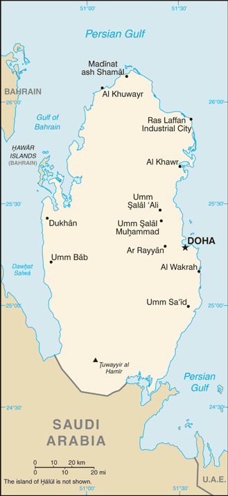
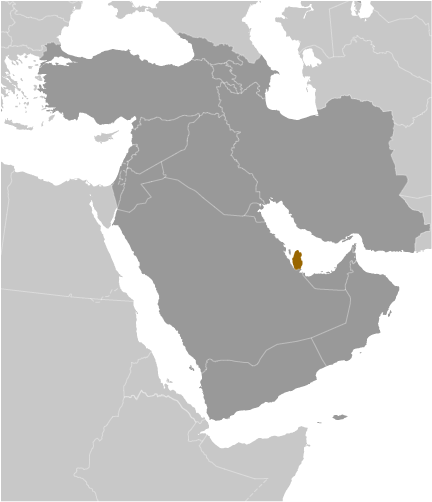
Ghaf Makin (Ghaf Makīn) is a populated place (class P - Populated Place) in Baladiyat ash Shamal (Madinat ash Shamal), Qatar (Asia) with the region font code of Africa/Middle East...
Ghaf Makīn is also known as Ghaf Makin, Ghaf Makīn, ghaf makin, غَف مَكِين.
Its coordinates are 26°26'28" N and 51°11'20" E in DMS (Degrees Minutes Seconds) or 26.4411 and 51.1889 (in decimal degrees). Its UTM position is WK12 and its Joint Operation Graphics reference is NG39-07.
Current local time is 04:48; the sun rises at 08:54 and sets at 21:01 local time (Asia/Qatar UTC/GMT+3). The standard time zone for Ghaf Makin is UTC/GMT+3
In 2024 DST starts on - and ends on -.
A Populated place is a city, town, village, or other agglomeration of buildings where people live and work.
|
Advertisements:
Advertisements:
|
Weather Ghaf Makīn (Cloud cover, Temperature, Wind speed and Precipitation mm probab.)
Wed
Apr 24
25 °C min
26 °C max
12 km/h
Thu Jan 1
|
Thu
Apr 25
24 °C min
26 °C max
13 km/h
Thu Jan 1
|
Fri
Apr 26
24 °C min
27 °C max
16 km/h
Thu Jan 1
|
Sat
Apr 27
25 °C min
28 °C max
15 km/h
Thu Jan 1
|
Sun
Apr 28
25 °C min
28 °C max
22 km/h
Thu Jan 1
|
Mon
Apr 29
25 °C min
27 °C max
26 km/h
Thu Jan 1
|
|
|
Ghaf Makin (Baladiyat ash Shamal) 7 day forecast
Map and Photos Ghaf Makin
--- There are no comments yet ---
Add a new comment:
|
Advertisement
Members area
Qatar (Doha):
GPS points from Qatar (Doha)
|