English   Română   Español   Français   Deutsch  

getamap.net

Africa

Oceania

Asia

North America

Europe

South America

Antarctica


Administrative divisions (GPS Maps)

Geography

People and Society

Government

Economy

Communications

Transportation

Military


The island, with its fine natural harbor at Castries, was contested between England and France throughout the 17th and early 18th centuries (changing possession 14 times); it was finally ceded to the UK in 1814. Even after the abolition of slavery on its plantations in 1834, Saint Lucia remained an agricultural island, dedicated to producing tropical commodity crops. Self-government was granted in 1967 and independence in 1979.


Advertisements:

Advertisements Advertisements


Administrative divisions (750 GPS Maps)


Comments

--- There are no comments yet ---


Add a new comment:


You have to log in to add a comment!


Advertisement


Members area


Register

Forgot password?

Saint Lucia (Castries):
Country Flag
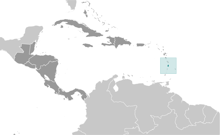
Country Locator

GPS points from Saint Lucia (Castries)

square La Fargue Quarter Of Choiseul

square Anse Des Pitons Quarter Of Soufriere

square De Mailly Quarter Of Micoud

square Punchbowl Quarter Of Soufriere

square Anse Comerette Quarter Of Gros-islet

square Saint Phillip Quarter Of Soufriere

square La Pearle Quarter Of Soufriere

square Maria Island Quarter Of Vieux-fort


viewweather.com sv.ViewWeather.com
fr.ViewWeather.com
da.ViewWeather.com
de.ViewWeather.com
es.ViewWeather.com
www.carpati.org
www.searchromania.net
Deblocari usi
es.getamap.org
fr.getamap.org
de.getamap.org
nl.getamap.org
da.getamap.org
www.getamap.org
Links
Terms of use
Privacy policy

# 0.0213 sec 

contact AT getamap.net

© 2006 - 2024  https://www.getamap.net/