|
|
|
Advertisements:
Administrative divisions (339 GPS Maps)
Comments
Add a new comment: |
Advertisement
Members area
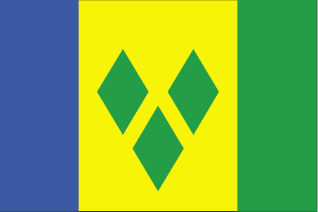
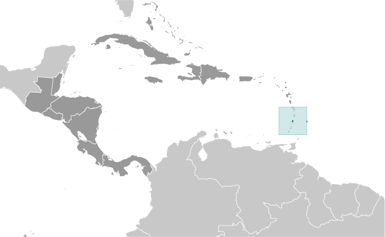
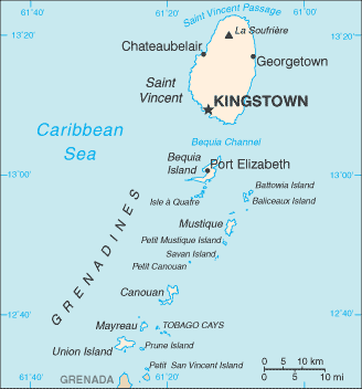
Saint Vincent And The Grenadines (Kingstown):
GPS points from Saint Vincent And The Grenadines (Kingstown)
|
||||||||
|
|
|
Advertisements:
Administrative divisions (339 GPS Maps)
Comments
Add a new comment: |
Advertisement
Members area
Saint Vincent And The Grenadines (Kingstown):
GPS points from Saint Vincent And The Grenadines (Kingstown)
|
||||||||
 Resistance by native Caribs prevented colonization on Saint Vincent until 1719. Disputed between France and the United Kingdom for most of the 18th century, the island was ceded to the latter in 1783. Between 1960 and 1962, Saint Vincent and the Grenadines was a separate administrative unit of the Federation of the West Indies. Autonomy was granted in 1969 and independence in 1979.