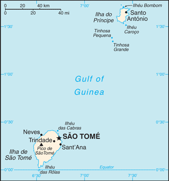
Praia de Santa Catarina (Sao Manuel) / Sao Tome
0°16'0" N
6°28'60" E
~0m asl
23:36 (GMT - UTC/GMT+0)
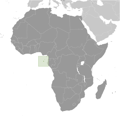
Praia de Santa Catarina (Praia de Santa Catarina) is a beach (class T - Hypsographic) in Sao Tome (São Tomé), Sao Tome And Principe (Africa) with the region font code of Americas/Western Europe...
Praia de Santa Catarina is also known as Sao Manoel, Sao Manuel, São Manoel, São Manuel.
Its coordinates are 0°16'0" N and 6°28'60" E in DMS (Degrees Minutes Seconds) or 0.266667 and 6.48333 (in decimal degrees). Its UTM position is KF12 and its Joint Operation Graphics reference is NA32-13.
Current local time is 23:36; the sun rises at 08:54 and sets at 21:01 local time (Africa/Sao_Tome UTC/GMT+0). The standard time zone for Praia de Santa Catarina is UTC/GMT+0
In 2024 DST starts on - and ends on -.
A Beach is a shore zone of coarse unconsolidated sediment that extends from the low-water line to the highest reach of storm waves.
|
Advertisements:
Advertisements:
|
Weather Praia de Santa Catarina (Cloud cover, Temperature, Wind speed and Precipitation mm probab.)
Wed
Apr 24
28 °C min
29 °C max
16 km/h
Thu Jan 1
|
Thu
Apr 25
28 °C min
29 °C max
20 km/h
Thu Jan 1
|
Fri
Apr 26
28 °C min
30 °C max
17 km/h
Thu Jan 1
|
Sat
Apr 27
28 °C min
30 °C max
12 km/h
Thu Jan 1
|
Sun
Apr 28
~6 l/m2 30%
28 °C min
30 °C max
19 km/h
Thu Jan 1
|
Mon
Apr 29
~13 l/m2 67%
27 °C min
29 °C max
22 km/h
Thu Jan 1
|
|
|
Sao Manuel (Sao Tome) 7 day forecast
Map and Photos Praia de Santa Catarina
--- There are no comments yet ---
Add a new comment:
|
Members area
Sao Tome And Principe (Sao Tome):
Advertisement
GPS points near Praia de Santa Catarina
GPS points from Sao Tome And Principe (Sao Tome)
|
 Ponta Alema (1 km)