3°48'0" S
55°40'0" E
~0m asl
18:13 (SCT - UTC/GMT+4)
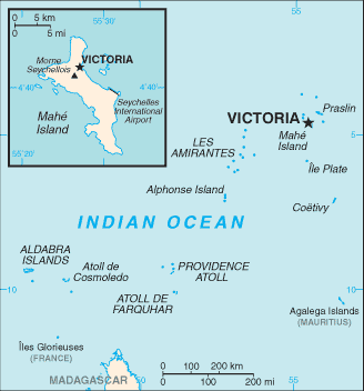
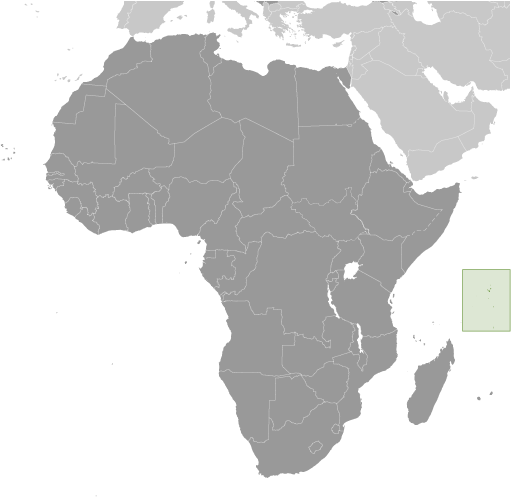
Denis Island (Denis Island) is a island (class T - Hypsographic) in Seychelles (general), Seychelles (Africa) with the region font code of Americas/Western Europe...
Denis Island is also known as Denis, Denis Island, Dennis Island, Ile Denis, Ile Denys, Île Denis.
Its coordinates are 3°48'0" S and 55°40'0" E in DMS (Degrees Minutes Seconds) or -3.8 and 55.6667 (in decimal degrees). Its UTM position is CA57 and its Joint Operation Graphics reference is SB40-01.
Current local time is 18:13; the sun rises at 08:55 and sets at 21:02 local time (Indian/Mahe UTC/GMT+4). The standard time zone for Denis Island is UTC/GMT+4
In 2024 DST starts on - and ends on -.
A Island is a tract of land, smaller than a continent, surrounded by water at high water.
|
Advertisements:
Advertisements:
|
Weather Denis Island (Cloud cover, Temperature, Wind speed and Precipitation mm probab.)
Thu
Apr 18
~11 l/m2 66%
28 °C min
29 °C max
19 km/h
Thu Jan 1
|
Fri
Apr 19
~6 l/m2 61%
28 °C min
29 °C max
14 km/h
Thu Jan 1
|
Sat
Apr 20
~3 l/m2 32%
28 °C min
30 °C max
19 km/h
Thu Jan 1
|
Sun
Apr 21
~6 l/m2 38%
28 °C min
30 °C max
12 km/h
Thu Jan 1
|
Mon
Apr 22
~1 l/m2 20%
28 °C min
30 °C max
14 km/h
Thu Jan 1
|
Tue
Apr 23
~10 l/m2 48%
28 °C min
30 °C max
15 km/h
Thu Jan 1
|
|
|
Ile Denis (Seychelles (general)) 7 day forecast
Map and Photos Denis Island
--- There are no comments yet ---
Add a new comment:
|
Advertisement
Members area
Seychelles (Victoria):
GPS points from Seychelles (Victoria)
|