|
|
|
Weather Aykaul (Cloud cover, Temperature, Wind speed and Precipitation mm probab.)
Map and Photos Aykaul
Comments
Add a new comment: |
Members area
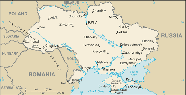
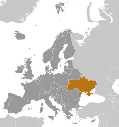
Ukraine (Kiev):
Advertisement
GPS points near Aykaul
 Aykaul Vakuf (1 km)
Murzabek (2 km)
Temir Bulat (3 km)
Beshuy (5 km)
Sary-Bash (5 km)
Tanino (5 km)
Alekseyevka (6 km)
Eski-Ali-Kech' (6 km)
Kadzhambak (8 km)
Kodzhambak (8 km)
Kodzhembak (8 km)
Oktyabr'skoye (8 km)
Ryleyevo (8 km)
Terekly-Kitay (8 km)
Dzhavgachty (8 km)
Muni (9 km)
Muniy (9 km)
Aykaul Vakuf (1 km)
Murzabek (2 km)
Temir Bulat (3 km)
Beshuy (5 km)
Sary-Bash (5 km)
Tanino (5 km)
Alekseyevka (6 km)
Eski-Ali-Kech' (6 km)
Kadzhambak (8 km)
Kodzhambak (8 km)
Kodzhembak (8 km)
Oktyabr'skoye (8 km)
Ryleyevo (8 km)
Terekly-Kitay (8 km)
Dzhavgachty (8 km)
Muni (9 km)
Muniy (9 km)
GPS points from Ukraine (Kiev)
|