46°45'55" N
36°1'58" E
~43m asl
13:11 (EEST - UTC/GMT+3)
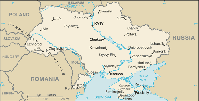
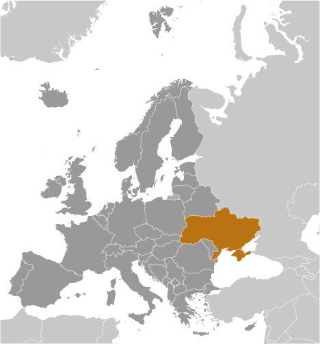
Balka Shirokaya (Balka Shirokaya) is a ravine(s) (class H - Hydrographic) in Zaporiz'ka Oblast' (Zaporiz'ka Oblast), Ukraine (Europe) with the region font code of Eastern Europe. It is located at an elevation of 43 meters above sea level.
Its coordinates are 46°45'55" N and 36°1'58" E in DMS (Degrees Minutes Seconds) or 46.7653 and 36.0328 (in decimal degrees). Its UTM position is BM78 and its Joint Operation Graphics reference is NL37-04.
Current local time is 13:11; the sun rises at 07:54 and sets at 20:01 local time (Europe/Zaporozhye UTC/GMT+3). The standard time zone for Balka Shirokaya is UTC/GMT+2, but since Daylight Saving Time (DST) is in effect the current time zone is UTC/GMT+3.
In 2024 DST starts on 31 Mar 2024 and ends on 27 Oct 2024.
A Ravine(s) is a small, narrow, deep, steep-sided stream channel, smaller than a gorge.
|
Advertisements:
Advertisements:
|
Weather Balka Shirokaya (Cloud cover, Temperature, Wind speed and Precipitation mm probab.)
Wed
Apr 24
12 °C min
19 °C max
40 km/h
Thu Jan 1
|
Thu
Apr 25
13 °C min
20 °C max
25 km/h
Thu Jan 1
|
Fri
Apr 26
15 °C min
21 °C max
26 km/h
Thu Jan 1
|
Sat
Apr 27
11 °C min
19 °C max
27 km/h
Thu Jan 1
|
Sun
Apr 28
12 °C min
19 °C max
25 km/h
Thu Jan 1
|
Mon
Apr 29
12 °C min
19 °C max
27 km/h
Thu Jan 1
|
|
|
Balka Shirokaya (Zaporiz'ka Oblast') 7 day forecast
Map and Photos Balka Shirokaya
--- There are no comments yet ---
Add a new comment:
|
Members area
Ukraine (Kiev):
Advertisement
GPS points near Balka Shirokaya
GPS points from Ukraine (Kiev)
|