|
|
Advertisements:
TransportationAirports World Ranking: 52
106 (2012)
Airports - with paved runways
Total 11
Over 3,047 m 3 2,438 to 3,047 m 2 1,524 to 2,437 m 4 914 to 1,523 m 2 (2012) Airports - with unpaved runways
Total 95
1,524 to 2,437 m 19 914 to 1,523 m 58 Under 914 m 18 (2012) Pipelines
Gas 254 km; oil 888 km; refined products 8 km (2010) Railways World Ranking: 45
Total 3,689 km
Narrow gauge 969 km 1.067-m gauge; 2,720 km 1.000-m gauge (2008) Roadways World Ranking: 54
Total 91,049 km
Paved 6,578 km Unpaved 84,471 km (2007) Waterways
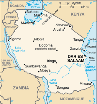
(Lake Tanganyika, Lake Victoria, and Lake Nyasa (Lake Malawi) are the principal avenues of commerce with neighboring countries; the rivers are not navigable) (2011) Merchant marine World Ranking: 52
Total 94
By type Bulk carrier 6, cargo 66, carrier 4, chemical tanker 1, container 1, passenger/cargo 2, petroleum tanker 10, refrigerated cargo 1, roll on/roll off 3 Foreign-owned 42 (Japan 1, Romania 1, Saudi Arabia 1, Syria 23, Turkey 13, UAE 3) Registered in other countries 3 (Panama 2, UK 1) (2010)Ports and terminals
Dar es Salaam, Zanzibar
Transportation - note
The International Maritime Bureau reports that shipping in territorial and offshore waters in the Indian Ocean remain at risk for piracy and armed robbery against ships, especially as Somali-based pirates extend their activities south; numerous commercial vessels have been attacked and hijacked both at anchor and while underway; crews have been robbed and stores or cargoes stolen
Comments
Add a new comment: |
Advertisement
Members area
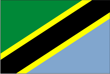
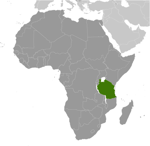
Tanzania (Dodoma):
 
GPS points from Tanzania (Dodoma)
|
||||||||

 Shortly after achieving independence from Britain in the early 1960s, Tanganyika and Zanzibar merged to form the nation of Tanzania in 1964. One-party rule ended in 1995 with the first democratic elections held in the country since the 1970s. Zanzibar's semi-autonomous status and popular opposition have led to two contentious elections since 1995, which the ruling party won despite international observers' claims of voting irregularities. The formation of a government of national unity between Zanzibar's two leading parties succeeded in minimizing electoral tension in 2010.