|
|
|
Weather Gerger (Cloud cover, Temperature, Wind speed and Precipitation mm probab.)
Map and Photos Gerger
Comments
Add a new comment: |
Members area
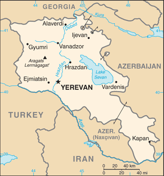
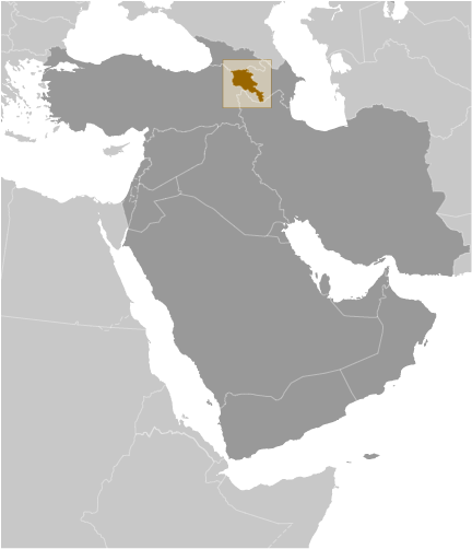
Armenia (Yerevan):
Advertisement
GPS points near Gerger
 Gerger (2 km)
Herher (2 km)
Gendara (2 km)
Reka Karmrashen (2 km)
Dzhabaly (2 km)
Karmrashen (3 km)
Ketanlu (3 km)
Kyotanli (3 km)
Akhkend (4 km)
Giondagh (5 km)
Gyoydagh Lerrnagagat' (5 km)
Gora Gyuy-Dag (5 km)
Gyuydagh (5 km)
Kyok'dagh (5 km)
Herheri Jrambar (5 km)
Bulakhlar (6 km)
Gndevaz (6 km)
Gerger (2 km)
Herher (2 km)
Gendara (2 km)
Reka Karmrashen (2 km)
Dzhabaly (2 km)
Karmrashen (3 km)
Ketanlu (3 km)
Kyotanli (3 km)
Akhkend (4 km)
Giondagh (5 km)
Gyoydagh Lerrnagagat' (5 km)
Gora Gyuy-Dag (5 km)
Gyuydagh (5 km)
Kyok'dagh (5 km)
Herheri Jrambar (5 km)
Bulakhlar (6 km)
Gndevaz (6 km)
GPS points from Armenia (Yerevan)
|