|
|
|
Weather Dang Chhu (Cloud cover, Temperature, Wind speed and Precipitation mm probab.)
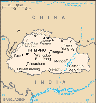
Map and Photos Dang Chhu
Comments
Add a new comment: |
Members area
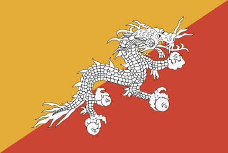
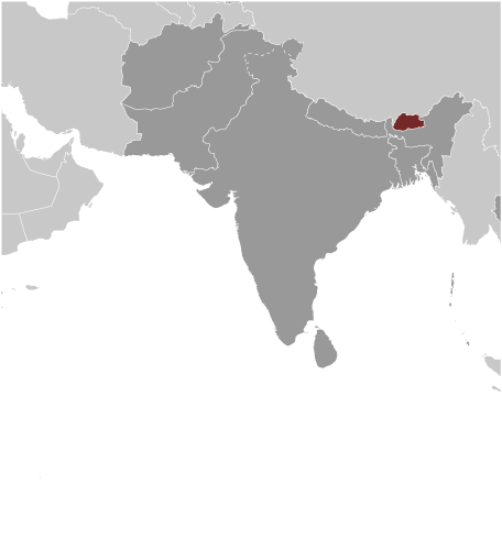
Bhutan (Thimphu):
Advertisement
GPS points near Dang Chhu
 Ritang (4 km)
Pele La (4 km)
Lung Chen (5 km)
Gangtey Gonpa (9 km)
Manikyangsa (9 km)
Wangdi Phodrang (10 km)
Wangdi Phodrang Dzongkhag (10 km)
Wangdu Phodrang (10 km)
Ritang (4 km)
Pele La (4 km)
Lung Chen (5 km)
Gangtey Gonpa (9 km)
Manikyangsa (9 km)
Wangdi Phodrang (10 km)
Wangdi Phodrang Dzongkhag (10 km)
Wangdu Phodrang (10 km)
GPS points from Bhutan (Thimphu)
|