|
|
Weather Río La Jagua (Cloud cover, Temperature, Wind speed and Precipitation mm probab.)
Map and Photos Rio La Jagua
Comments
Add a new comment: |
Members area
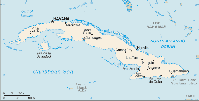
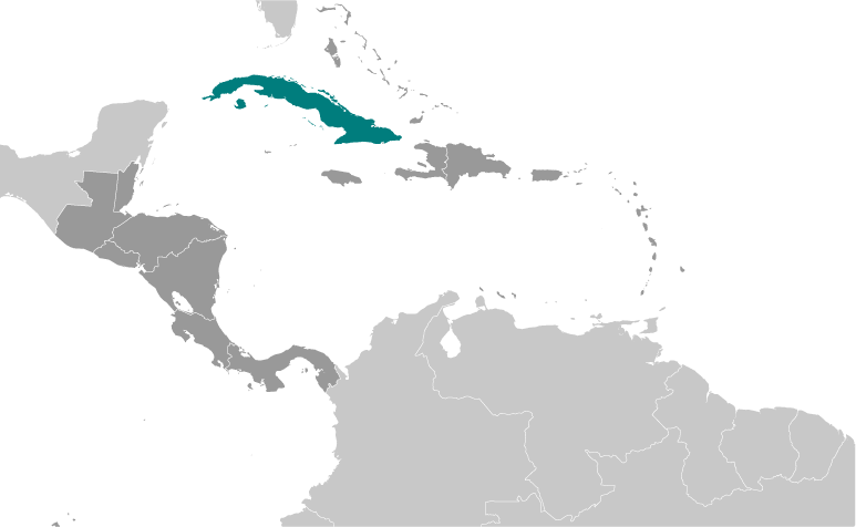
Cuba (Havana):
Advertisement
GPS points near Río La Jagua
 Arroyo San Miguel (1 km)
  San Carlos (3 km)
  Arroyo Santiago (3 km)
  San Francisco de la Vega (3 km)
  Santa Fe South (5 km)
  Santa Rita de las Jaguas (5 km)
  Santa Rita del Jagua (5 km)
  Loma Aguila (5 km)
  Loma Aguilla (5 km)
  Loma Daguilla (5 km)
  Cayo las Piedras (6 km)
  Finca Santa Isabel (6 km)
  Santa Isabel (6 km)
  Calabaza (7 km)
  La Pasadita (7 km)
  Pasarita (7 km)
  Laguna de Piedra (7 km)
GPS points from Cuba (Havana)
|


