English   Română   Español   Français   Deutsch  

getamap.net

Africa

Oceania

Asia

North America

Europe

South America

Antarctica


Administrative divisions (GPS Maps)

Geography

People and Society

Government

Economy

Communications

Transportation

Military


The French annexed various Polynesian island groups during the 19th century. In September 1995, France stirred up widespread protests by resuming nuclear testing on the Mururoa atoll after a three-year moratorium. The tests were suspended in January 1996. In recent years, French Polynesia's autonomy has been considerably expanded.


Advertisements:

Advertisements Advertisements


Administrative divisions (4,337 GPS Maps)


Comments

--- There are no comments yet ---


Add a new comment:


You have to log in to add a comment!


Advertisement


Members area


Register

Forgot password?

French Polynesia (Overseas Territory):
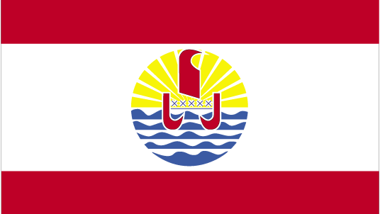
Country Flag
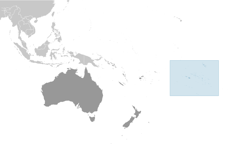
Country Locator

GPS points from French Polynesia (Overseas Territory)

square Pointe Paveau French Polynesia (general)

square Scilly Island French Polynesia (general)

square Tikehau French Polynesia (general)

square Pahiarepo French Polynesia (general)

square Coronados French Polynesia (general)

square Pointe Du Regent French Polynesia (general)

square Pic Makatea French Polynesia (general)

square Pointe Matautia French Polynesia (general)


viewweather.com sv.ViewWeather.com
fr.ViewWeather.com
da.ViewWeather.com
de.ViewWeather.com
es.ViewWeather.com
www.carpati.org
www.searchromania.net
Deblocari usi
es.getamap.org
fr.getamap.org
de.getamap.org
nl.getamap.org
da.getamap.org
www.getamap.org
Links
Terms of use
Privacy policy

# 0.0208 sec 

contact AT getamap.net

© 2006 - 2024  https://www.getamap.net/