English   Română   Español   Français   Deutsch  

getamap.net

Africa

Oceania

Asia

North America

Europe

South America

Antarctica


Szeged (41 GPS points)


Algyo
Algyo

seat of a first-order administrative division
Alsovaros
Alsovaros

section of populated place
Alsovarosi Feketefoldek
Alsovarosifeketefoldek

section of populated place
Alsovarosi Godrok
Alsovarosigodrok

section of populated place
Bakto Vasuti Megallohely
Baktovasutimegallohely

railroad stop
Felsovaros
Felsovaros

section of populated place
Felsovarosi Feketefoldek
Felsovarosifeketefoldek

section of populated place
Felsovarosi...
Felsovarosivalyogvetotelep

section of populated place
Gyala
Gyala

seat of a first-order administrative division
Gyalaret
Gyalaret

seat of a first-order administrative division
Kiskundorozsma
Kiskundorozsma

seat of a first-order administrative division
Marospart
Marospart

populated place
Marosto
Marosto

section of populated place
Marostoltes
Marostoltes

populated place
Nagymarosto
Nagymarosto

populated place
Nincstelentelep
Nincstelentelep

populated place
Rakoczitelep
Rakoczitelep

section of populated place
Rokus
Rokus

section of populated place
Rokusi Feketefoldek
Rokusifeketefoldek

section of populated place
Rokusifeketefoldek
Rokusifeketefoldek

section of populated place


Advertisements Advertisements


Rotkutdulo
Rotkutdulo

area
Rott-kut-dulo
Rottkutdulo

area
Rozsalaposdulo
Rozsalaposdulo

section of populated place
Segedin
Segedin

seat of a first-order administrative division
Seghedin
Seghedin

seat of a first-order administrative division
Seregelyes
Seregelyes

section of populated place
Seregelyesdulo
Seregelyesdulo

section of populated place
Siadulo
Siadulo

section of populated place
Subasahegy
Subasahegy

section of populated place
Szeged
Szeged

first-order administrative division
Szeged
Szeged

seat of a first-order administrative division
Szegedin
Szegedin

seat of a first-order administrative division
Szeged Megyei Varos
Szegedmegyeivaros

first-order administrative division
Szentmihalytelek
Szentmihalytelek

section of populated place
Szilvesztermajor
Szilvesztermajor

section of populated place
Szoreg
Szoreg

seat of a first-order administrative division
Szoregitanyak
Szoregitanyak

section of populated place
Tape
Tape

seat of a first-order administrative division
Tapei Halom
Tapeihalom

hill
Ujszeged
Ujszeged

section of populated place
Varos-major
Varosmajor

section of populated place
# 41 

Comments

--- There are no comments yet ---


Add a new comment:


You have to log in to add a comment!


Advertisement


Members area


Register

Forgot password?

Hungary (Budapest):
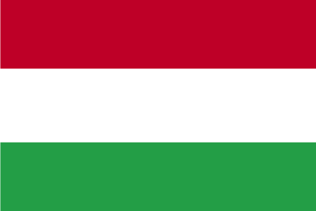
Country Flag
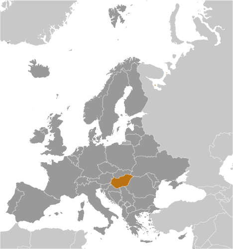
Country Locator

GPS points from Hungary (Budapest)

square Ebedlesi-hegy Bacs-kiskun

square Hajmasker Vasutallomas Veszprem Megye

square Kozepsomalom Baranya Megye

square Vidi-er Hajdu-bihar

square Paty Pest Megye


square Pecsi-viz Hungary (general)

square Degenfeld Pal-kulsotag Szabolcs-szatmar-bereg


viewweather.com sv.ViewWeather.com
fr.ViewWeather.com
da.ViewWeather.com
de.ViewWeather.com
es.ViewWeather.com
www.carpati.org
www.searchromania.net
Deblocari usi
es.getamap.org
fr.getamap.org
de.getamap.org
nl.getamap.org
da.getamap.org
www.getamap.org
Links
Terms of use
Privacy policy

# 0.0291 sec 

contact AT getamap.net

© 2006 - 2024  https://www.getamap.net/