|
|
|
Weather Rumškės (Cloud cover, Temperature, Wind speed and Precipitation mm probab.)
Map and Photos Rumskes
Comments
Add a new comment: |
Members area
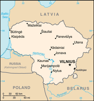
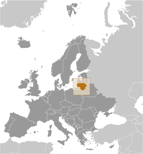
Lithuania (Vilnius):
Advertisement
GPS points near Rumškės
 Praviena (1 km)
Astragai (2 km)
Ostrogi (2 km)
Devoynyantsy Tret'ye (2 km)
Dovainonys III (2 km)
Dovainonys Treciosios (2 km)
Devoynyantsy Vtoroye (3 km)
Dovainonys (3 km)
Dovainonys Antrosios (3 km)
Dovainonys II (3 km)
Devoynyantsy Pervoye (3 km)
Dovainonys I (3 km)
Dovainonys Pirmosios (3 km)
Kampishkes (3 km)
Kampiskes (3 km)
Kampiskiu (3 km)
Sloboda (3 km)
Praviena (1 km)
Astragai (2 km)
Ostrogi (2 km)
Devoynyantsy Tret'ye (2 km)
Dovainonys III (2 km)
Dovainonys Treciosios (2 km)
Devoynyantsy Vtoroye (3 km)
Dovainonys (3 km)
Dovainonys Antrosios (3 km)
Dovainonys II (3 km)
Devoynyantsy Pervoye (3 km)
Dovainonys I (3 km)
Dovainonys Pirmosios (3 km)
Kampishkes (3 km)
Kampiskes (3 km)
Kampiskiu (3 km)
Sloboda (3 km)
GPS points from Lithuania (Vilnius)
|