English   Română   Español   Français   Deutsch  

getamap.net

Africa

Oceania

Asia

North America

Europe

South America

Antarctica


Lannenerbierg

/ District de Diekirch

49°47'55" N
5°50'7" E
~381m asl
16:55 (CEST - UTC/GMT+2)

Lannenerbierg (Lannenerbierg) is a populated locality (class P - Populated Place) in District de Diekirch (Diekirch), Luxembourg (Europe) with the region font code of Americas/Western Europe. It is located at an elevation of 381 meters above sea level.
Lannenerbierg is also known as Lannenerberg, Lannenerbierg.

Its coordinates are 49°47'55" N and 5°50'7" E in DMS (Degrees Minutes Seconds) or 49.7986 and 5.83528 (in decimal degrees). Its UTM position is GR02 and its Joint Operation Graphics reference is NM31-09.

Current local time is 16:55; the sun rises at 07:55 and sets at 20:02 local time (Europe/Luxembourg UTC/GMT+2). The standard time zone for Lannenerbierg is UTC/GMT+1, but since Daylight Saving Time (DST) is in effect the current time zone is UTC/GMT+2.
In 2024 DST starts on 31 Mar 2024 and ends on 27 Oct 2024.

A Populated locality is an area similar to a locality but with a small group of dwellings or other buildings.


Country
 Advertisements:


 Advertisements:


Weather Lannenerbierg (Cloud cover, Temperature, Wind speed and Precipitation mm probab.)

Thu


Apr 18
Clound 10-60-30-40 Mist
 
4 °C min
9 °C max
14 km/h
Thu Jan 1

Fri


Apr 19
Clound 20-90-80-50 Mist
~13 l/m2 77%
 
2 °C min
7 °C max
29 km/h
Thu Jan 1

Sat


Apr 20
Clound 20-90-20-0 Mist
~6 l/m2 62%
 
1 °C min
5 °C max
23 km/h
Thu Jan 1

Sun


Apr 21
Clound 30-90-60-0 Mist
~11 l/m2 73%
 
1 °C min
8 °C max
21 km/h
Thu Jan 1

Mon


Apr 22
Clound 20-80-50-0 Mist
~1 l/m2 55%
 
0 °C min
7 °C max
22 km/h
Thu Jan 1

Tue


Apr 23
Clound 0-60-30-0
 
-2 °C min
8 °C max
21 km/h
Thu Jan 1

Weather Graph

Lannenerbierg (District de Diekirch) 7 day forecast
 

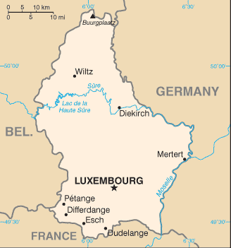
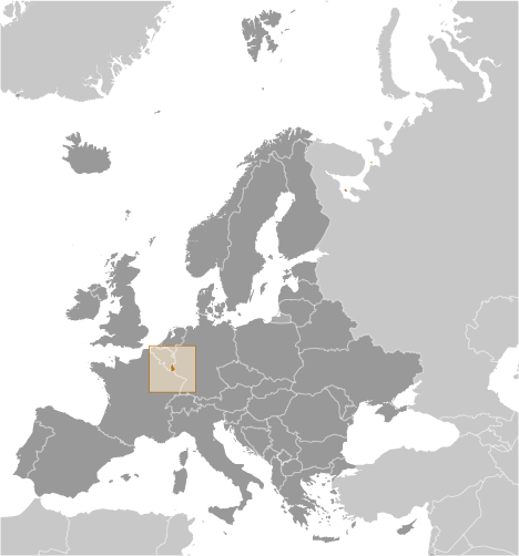
Map and Photos Lannenerbierg


Comments

--- There are no comments yet ---


Add a new comment:


You have to log in to add a comment!


Members area


Register

Forgot password?

Luxembourg (Luxembourg City):

Advertisement


GPS points near Lannenerbierg

square Lannen (1 km)


square Roodt (1 km)

square Roodt-les-Ell (1 km)


square Nagem (1 km)

square Nogem (1 km)


square Wangert (2 km)

square Hostert (2 km)


square Goeldt (3 km)

square Maison Goelt (3 km)


GPS points from Luxembourg (Luxembourg City)

square Tarchamps District De Diekirch

square Huldange District De Diekirch

square Grossbusch District De Luxembourg

square Ferme Fronay District De Grevenmacher

square Moulin De Bigonville District De Diekirch

square Ernz Blanche Luxembourg (general)

square Hueschterbaach District De Diekirch

square Fraesbech District De Diekirch


viewweather.com sv.ViewWeather.com
fr.ViewWeather.com
da.ViewWeather.com
de.ViewWeather.com
es.ViewWeather.com
www.carpati.org
www.searchromania.net
Deblocari usi
es.getamap.org
fr.getamap.org
de.getamap.org
nl.getamap.org
da.getamap.org
www.getamap.org
Links
Terms of use
Privacy policy

# 0.0665 sec 

contact AT getamap.net

© 2006 - 2024  https://www.getamap.net/