English   Română   Español   Français   Deutsch  

getamap.net

Africa

Oceania

Asia

North America

Europe

South America

Antarctica


Administrative divisions (GPS Maps)

Geography

People and Society

Government

Economy

Communications

Transportation

Military


Great Britain formally acquired possession of Malta in 1814. The island staunchly supported the UK through both world wars and remained in the Commonwealth when it became independent in 1964. A decade later Malta became a republic. Since about the mid-1980s, the island has transformed itself into a freight transshipment point, a financial center, and a tourist destination. Malta became an EU member in May 2004 and began using the euro as currency in 2008.


Advertisements:

Advertisements Advertisements


Administrative divisions (4,044 GPS Maps)


Comments

--- There are no comments yet ---


Add a new comment:


You have to log in to add a comment!


Advertisement


Members area


Register

Forgot password?

Malta (Valletta):
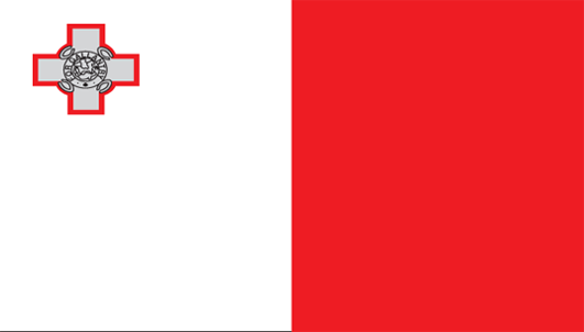
Country Flag
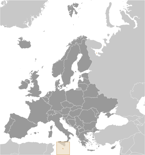
Country Locator

GPS points from Malta (Valletta)

square Gnien Hira Malta (general)

square Blue Lagoon Malta (general)

square Hamriah Bank Malta (general)

square Tal-borg Malta (general)

square Il-bajja Ta' Ghar Id-dud Malta (general)

square Fortizza Ta' Campbell Malta (general)

square Il-munxar Malta (general)

square Ir-ramla Tal Mixkuka Malta (general)


viewweather.com sv.ViewWeather.com
fr.ViewWeather.com
da.ViewWeather.com
de.ViewWeather.com
es.ViewWeather.com
www.carpati.org
www.searchromania.net
Deblocari usi
es.getamap.org
fr.getamap.org
de.getamap.org
nl.getamap.org
da.getamap.org
www.getamap.org
Links
Terms of use
Privacy policy

# 0.0211 sec 

contact AT getamap.net

© 2006 - 2024  https://www.getamap.net/