25°4'60" N
50°49'60" E
~25m asl
08:33 (AST - UTC/GMT+3)
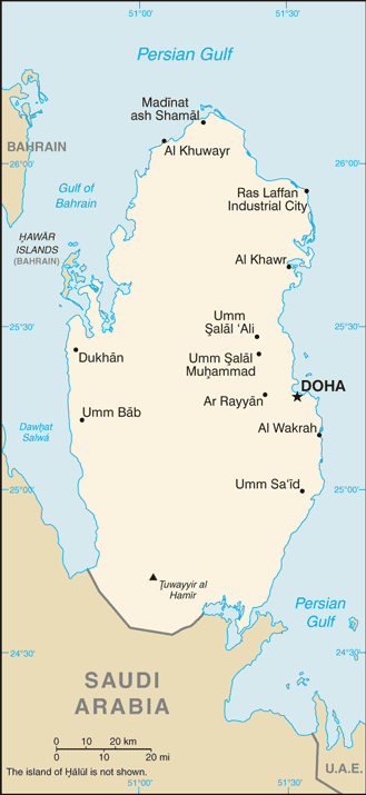
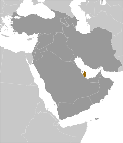
Wadi Huwaila (Wadi Huwaila) is a wadi (class H - Hydrographic) in Baladiyat ar Rayyan (Qatar (general)), Qatar (Asia) with the region font code of Africa/Middle East. It is located at an elevation of 25 meters above sea level.
Wadi Huwaila is also known as Wadi Huwaila, Wadi Huwaylah, Wādī Ḩuwaylah, wadi huaylat, وَادِي حُوَيْلَة.
Its coordinates are 25°4'60" N and 50°49'60" E in DMS (Degrees Minutes Seconds) or 25.0833 and 50.8333 (in decimal degrees). Its UTM position is VH87 and its Joint Operation Graphics reference is NG39-10.
Current local time is 08:33; the sun rises at 08:55 and sets at 21:02 local time (Asia/Qatar UTC/GMT+3). The standard time zone for Wadi Huwaila is UTC/GMT+3
In 2024 DST starts on - and ends on -.
A Wadi is a valley or ravine, bounded by relatively steep banks, which in the rainy season becomes a watercourse; found primarily in North Africa and the Middle East.
|
Advertisements:
Advertisements:
|
Weather Wadi Huwaila (Cloud cover, Temperature, Wind speed and Precipitation mm probab.)
Fri
Apr 19
30 °C min
31 °C max
16 km/h
Thu Jan 1
|
Sat
Apr 20
24 °C min
35 °C max
21 km/h
Thu Jan 1
|
Sun
Apr 21
24 °C min
37 °C max
20 km/h
Thu Jan 1
|
Mon
Apr 22
26 °C min
39 °C max
27 km/h
Thu Jan 1
|
Tue
Apr 23
26 °C min
33 °C max
39 km/h
Thu Jan 1
|
Wed
Apr 24
24 °C min
35 °C max
25 km/h
Thu Jan 1
|
|
|
Wadi Huwaylah (Baladiyat ar Rayyan) 7 day forecast
Map and Photos Wadi Huwaila
--- There are no comments yet ---
Add a new comment:
|
Members area
Qatar (Doha):
Advertisement
GPS points near Wadi Huwaila
GPS points from Qatar (Doha)
|
 Abu Turayfah (2 km)